Transport Functions
Port
Rail
Road
Hub Profile
Place type
Populated place
Region
Mecklenburg-Vorpommern
Time zone
Europe/Berlin
Elevation
21 m
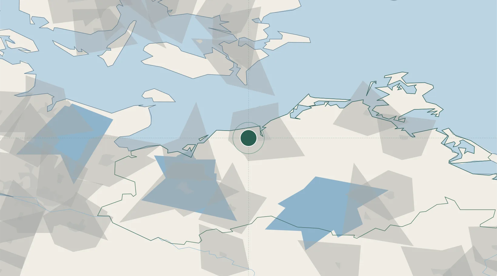
Location
Nearby Logistics Neighbours
Cities
- 1Warnemünde11 km
- 2Rostock12 km
- 3Kessin13 km
- 4Bentwisch14 km
- 5Ostseebad Kuhlungsborn17 km
Ports
- 1Rostock10 km
- 2Wismar40 km
- 3Nysted67 km
- 4Heiligenhafen72 km
- 5Lubeck-Travemunde73 km
Airports
Trade Zones
- 1Freeport of Kiel121 km
- 2Swinoujscie Duty Free Zone151 km
- 3MTS Malmö Transport and Spedition184 km
- 4Szczecin Duty Free Zone186 km
- 5Freeport of Copenhagen- Nordhavn186 km
DatabookThe Record of Consolidated Knowledge
Germany beyond logistics?