Transport Functions
Port
Rail
Road
Hub Profile
Region
MV
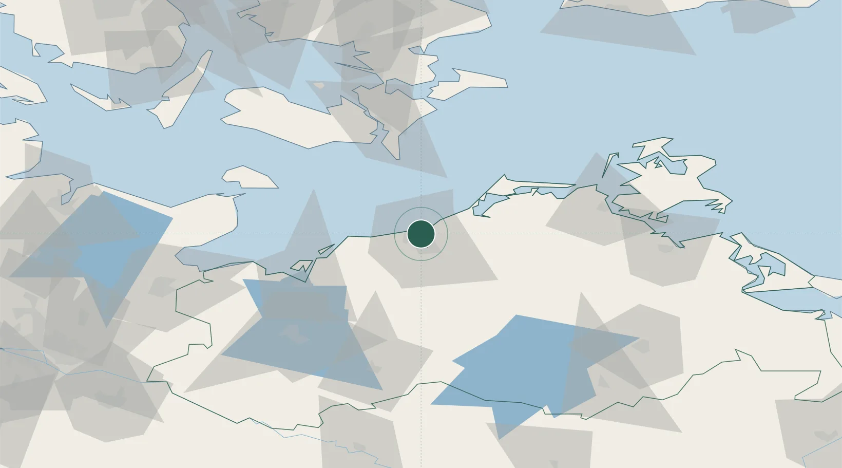
Location
Nearby Logistics Neighbours
Cities
- 1Rostock6 km
- 2Rövershagen10 km
- 3Bentwisch11 km
- 4Parkentin11 km
- 5Kessin13 km
Airports
Trade Zones
- 1Freeport of Kiel125 km
- 2Swinoujscie Duty Free Zone146 km
- 3MTS Malmö Transport and Spedition173 km
- 4Freeport of Copenhagen- Nordhavn175 km
- 5Szczecin Duty Free Zone183 km
DatabookThe Record of Consolidated Knowledge
Germany beyond logistics?