Transport Functions
Rail
Road
Hub Profile
Place type
Populated place
Region
Mecklenburg-Vorpommern
Time zone
Europe/Berlin
Elevation
25 m
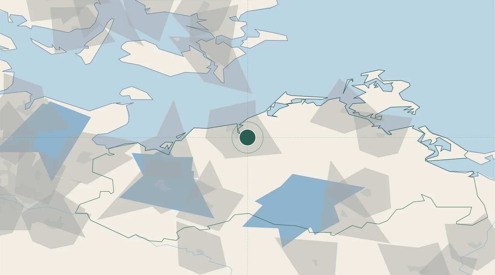
Location
Nearby Logistics Neighbours
Cities
- 1Bentwisch4 km
- 2Rostock7 km
- 3Warnemünde13 km
- 4Parkentin13 km
- 5Rövershagen13 km
Airports
Trade Zones
- 1Freeport of Kiel134 km
- 2Swinoujscie Duty Free Zone138 km
- 3Szczecin Duty Free Zone173 km
- 4MTS Malmö Transport and Spedition181 km
- 5Freeport of Copenhagen- Nordhavn185 km
DatabookThe Record of Consolidated Knowledge
Germany beyond logistics?