Transport Functions
Port
Rail
Road
Airport
Postal
Hub Profile
Place type
District seat
Region
Mecklenburg-Vorpommern
Population
198,293
Time zone
Europe/Berlin
Elevation
18 m
Logistics facilities
2
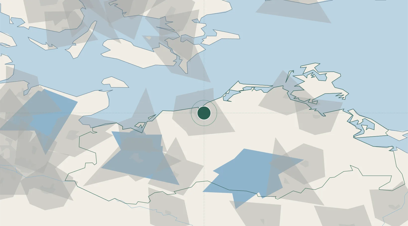
Location
Nearby Logistics Neighbours
Cities
- 1Bentwisch5 km
- 2Warnemünde6 km
- 3Kessin7 km
- 4Rövershagen8 km
- 5Parkentin12 km
Ports
- 1Wismar51 km
- 2Stralsund65 km
- 3Nysted66 km
- 4Nykobing73 km
- 5Rodby Havn78 km
Airports
Trade Zones
- 1Freeport of Kiel131 km
- 2Swinoujscie Duty Free Zone141 km
- 3MTS Malmö Transport and Spedition175 km
- 4Szczecin Duty Free Zone178 km
- 5Freeport of Copenhagen- Nordhavn179 km
DatabookThe Record of Consolidated Knowledge
Germany beyond logistics?