Transport Functions
Port
Rail
Road
Hub Profile
Place type
Populated place
Region
Bavaria
Time zone
Europe/Berlin
Elevation
324 m
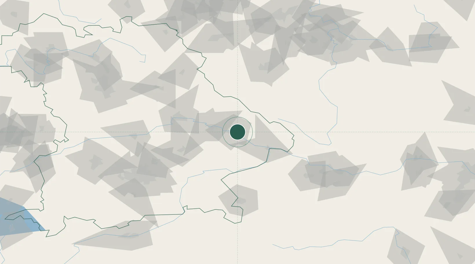
Location
Nearby Logistics Neighbours
Cities
- 1Winzer11 km
- 2Bischofsmais13 km
- 3Osterhofen13 km
- 4Niederwinkling15 km
- 5Gotteszell17 km
Ports
- 1Monfalcone340 km
- 2Nogaro340 km
- 3Grado348 km
- 4Trieste357 km
- 5Muggia363 km
Airports
- 1Landshut Airfield78 km
- 2Hohenfels Army Airfield95 km
- 3Plzeň-Líně Airport98 km
- 4Munich Airport102 km
- 5České Budějovice South Bohemian Airport107 km
Trade Zones
DatabookThe Record of Consolidated Knowledge
Germany beyond logistics?