Medium airport · Germany

Hohenfels Army AirfieldETIH
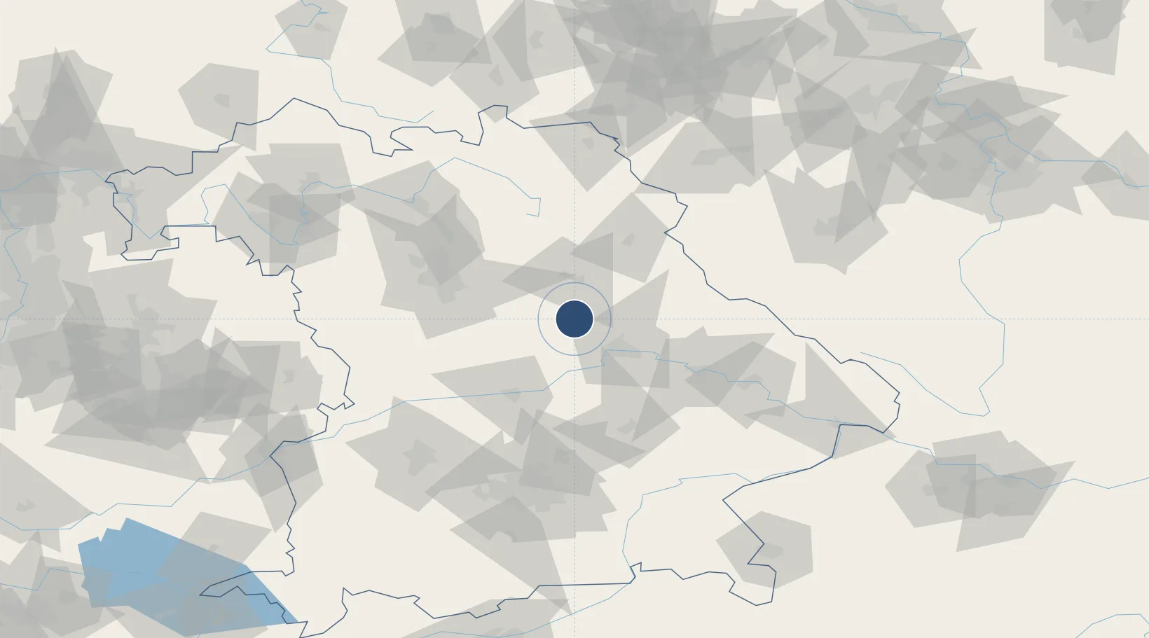
49.2165°, 11.8361°
2,187 ft
Longest runway
1
Runways
1,455 ft
Elevation

Runway & Layout

Hohenfels Army Airfield runway & taxiway layout
Runway & taxiway layout — OpenStreetMap (ODbL) / OurAirports

Radio Frequencies

TWR
31.8 MHz
INFO
120.65 MHz
MUNCHEN INFO
OurAirports

Navaids

HFX NDB Hohenfels 286 kHz
OurAirports

Runways · 1

RunwayDimensions SurfaceTrue headingLit
09/27 2,187 × 72ft Asphalt 090°
OurAirports

Airport Specifications

ICAO code
ETIH
OurAirports
Airport class
Medium airport
OurAirports
Scheduled service
No
OurAirports
Runway surface
Asphalt
OurAirports
Served city
Hohenfels
OurAirports

Location

Location of ETIH
Natural Earth 10m (public domain) · Bayern · ETIH · 49.22, 11.84GoogleOSMYandex

Nearby Logistics Neighbours

Airports
  1. 1Grafenwöhr Army Air Field54 km
  2. 2Ingolstadt Manching Airport60 km
  3. 3Nuremberg Airport63 km
  4. 4Neuburg Air Base72 km
  5. 5Landshut Airfield80 km
Nearest neighbours — logibook spatial index (haversine) over the source coordinates
Cities
  1. 1Raitenbuch4 km
  2. 2Parsberg10 km
  3. 3Burglengenfeld14 km
  4. 4Babelsberg16 km
  5. 5Laaber17 km
Nearest neighbours — logibook spatial index (haversine) over the source coordinates
Ports
  1. 1Nogaro397 km
  2. 2Monfalcone403 km
  3. 3Grado407 km
  4. 4Trieste422 km
  5. 5Porto Di Lido-Venezia425 km
Nearest neighbours — logibook spatial index (haversine) over the source coordinates
Trade Zones
  1. 1Freeport of Deggendorf88 km
  2. 2Podbořany Industrial Zone159 km
  3. 3Žatec - Triangle Strategic Industrial Zone178 km
  4. 4Most - Joseph Industrial Zone192 km
  5. 5Industrial Zone Kutna Hora261 km
Nearest neighbours — logibook spatial index (haversine) over the source coordinates
DatabookThe Record of Consolidated Knowledge
Germany beyond logistics?
Browse databook

All Sources

AirportsOurAirports
Public domain
Portsthe NGA World Port Index
Public domain (US gov)
LocationsUN/LOCODE
UN/LOCODE — free
Trade Zonesthe World Bank SEZ database
CC BY 4.0
Trade ZonesOpen Zone Map
CC BY
InfrastructureOpenStreetMap
ODbL 1.0
← Germany airports