UN/LOCODE hub · Germany
DEDWB
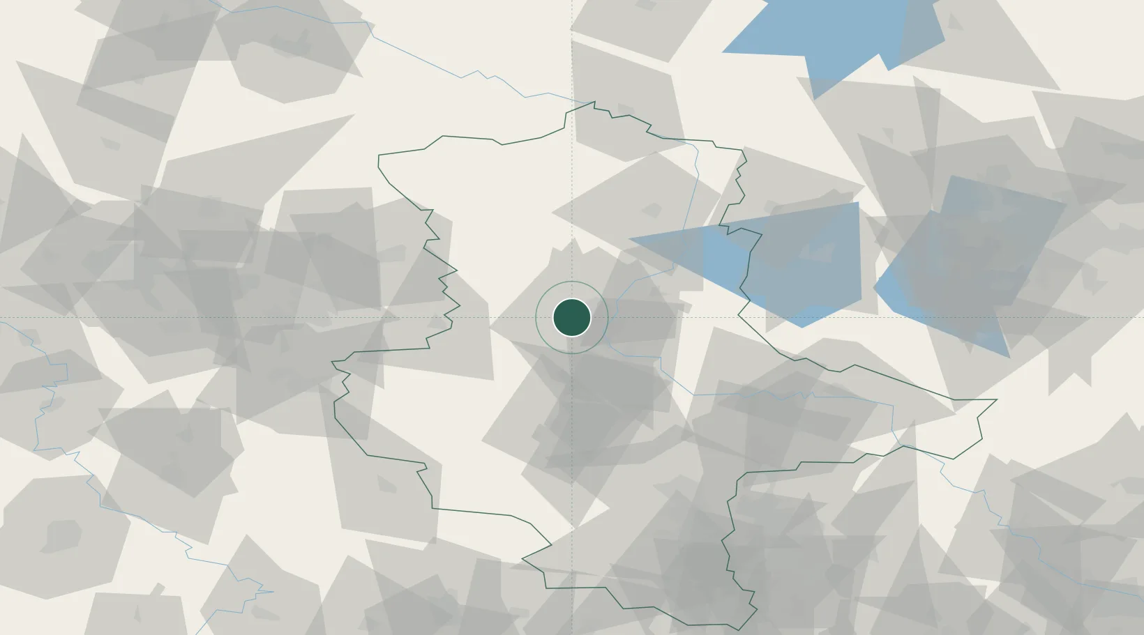
Dahlenwarsleben
52.1833°, 11.5333°
1,424
Population
2
Transport functions
Transport Functions
Road
Multimodal
Hub Profile
Place type
Populated place
Region
Saxony-Anhalt
Population
1,424
Time zone
Europe/Berlin
Elevation
64 m
Location
Nearby Logistics Neighbours
Cities
- 1Hermsdorf3 km
- 2Hohe Boerde4 km
- 3Irxleben4 km
- 4Meitzendorf4 km
- 5Niedere Börde6 km
Ports
- 1Hamburg186 km
- 2Wismar191 km
- 3Lubeck197 km
- 4Lubeck-Travemunde203 km
- 5Butzfleth212 km
Airports
- 1Zerbst Airfield47 km
- 2Braunschweig-Wolfsburg Airport68 km
- 3Leipzig/Halle Airport98 km
- 4Celle Army Airfield112 km
- 5Holzdorf Air Base121 km
Trade Zones
DatabookThe Record of Consolidated Knowledge
Germany beyond logistics?