Transport Functions
Rail
Road
Hub Profile
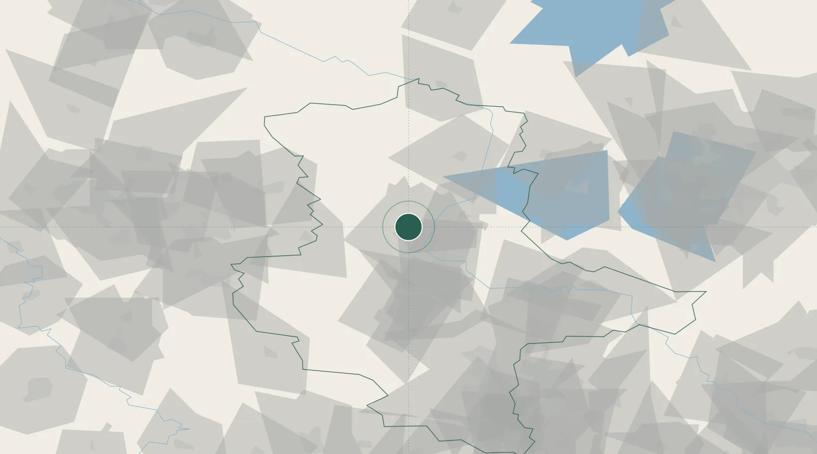
Place type
Populated place
Region
Saxony-Anhalt
Population
1,113
Time zone
Europe/Berlin
Elevation
53 m
Location
Nearby Logistics Neighbours
Cities
- 1Niedere Börde4 km
- 2Dahlenwarsleben4 km
- 3Hermsdorf7 km
- 4Rothensee8 km
- 5Hohe Boerde8 km
Ports
- 1Hamburg184 km
- 2Wismar187 km
- 3Lubeck194 km
- 4Lubeck-Travemunde200 km
- 5Butzfleth210 km
Airports
- 1Zerbst Airfield46 km
- 2Braunschweig-Wolfsburg Airport70 km
- 3Leipzig/Halle Airport100 km
- 4Celle Army Airfield113 km
- 5Holzdorf Air Base120 km
Trade Zones
DatabookThe Record of Consolidated Knowledge
Germany beyond logistics?