Transport Functions
Road
Multimodal
Hub Profile
Place type
Populated place
Region
North Rhine-Westphalia
Time zone
Europe/Berlin
Elevation
128 m
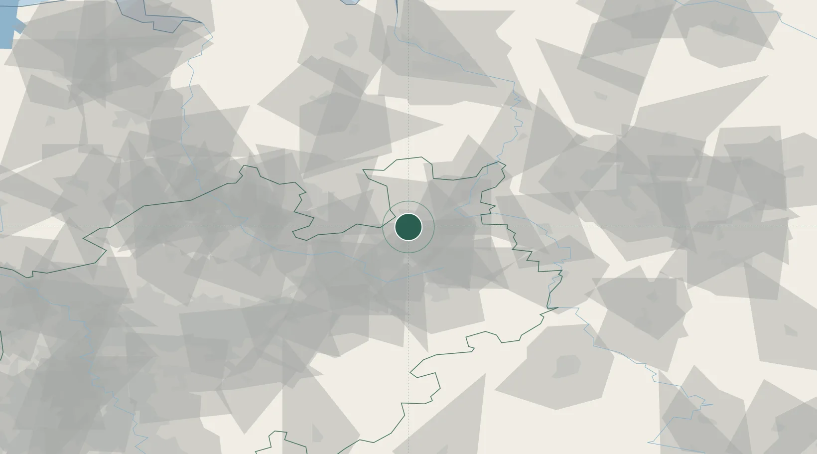
Location
Nearby Logistics Neighbours
Cities
- 1Löhnerheide11 km
- 2Bielefeld13 km
- 3Brackwede15 km
- 4Biebesheim15 km
- 5Jüchen16 km
Airports
- 1Bielefeld Airport17 km
- 2Bückeburg Air Base40 km
- 3Diepholz Air Base54 km
- 4Paderborn Lippstadt Airport56 km
- 5Münster Osnabrück Airport60 km
Trade Zones
DatabookThe Record of Consolidated Knowledge
Germany beyond logistics?