Transport Functions
Port
Rail
Road
Hub Profile
Region
NW
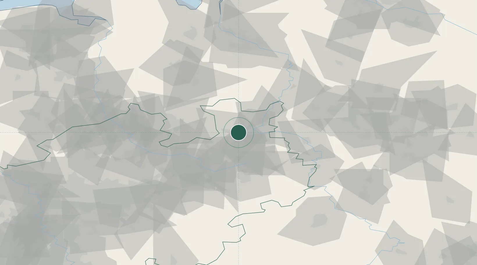
Location
Nearby Logistics Neighbours
Cities
- 1Oldinghausen11 km
- 2Lübbecke14 km
- 3Biebesheim16 km
- 4Bad Salzuflen17 km
- 5Jüchen17 km
Airports
- 1Bielefeld Airport26 km
- 2Bückeburg Air Base29 km
- 3Diepholz Air Base50 km
- 4Wunstorf Air Base59 km
- 5Paderborn Lippstadt Airport64 km
Trade Zones
DatabookThe Record of Consolidated Knowledge
Germany beyond logistics?