Transport Functions
Rail
Road
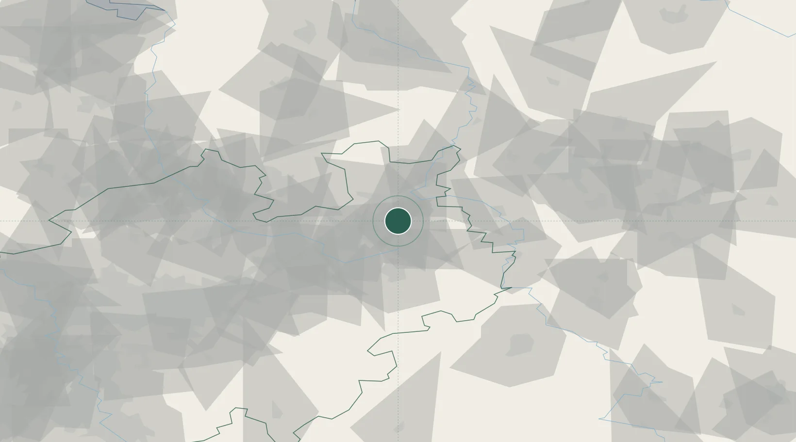
Hub Profile
Place type
Populated place
Region
Hesse
Population
6,626
Time zone
Europe/Berlin
Elevation
92 m
Logistics facilities
1
Location
Nearby Logistics Neighbours
Cities
- 1Bad Salzuflen1 km
- 2Jüchen2 km
- 3Oerlinghausen11 km
- 4Bielefeld12 km
- 5Oldinghausen15 km
Airports
- 1Bielefeld Airport17 km
- 2Bückeburg Air Base34 km
- 3Paderborn Lippstadt Airport49 km
- 4Wunstorf Air Base65 km
- 5Diepholz Air Base66 km
Trade Zones
DatabookThe Record of Consolidated Knowledge
Germany beyond logistics?