Transport Functions
Rail
Road
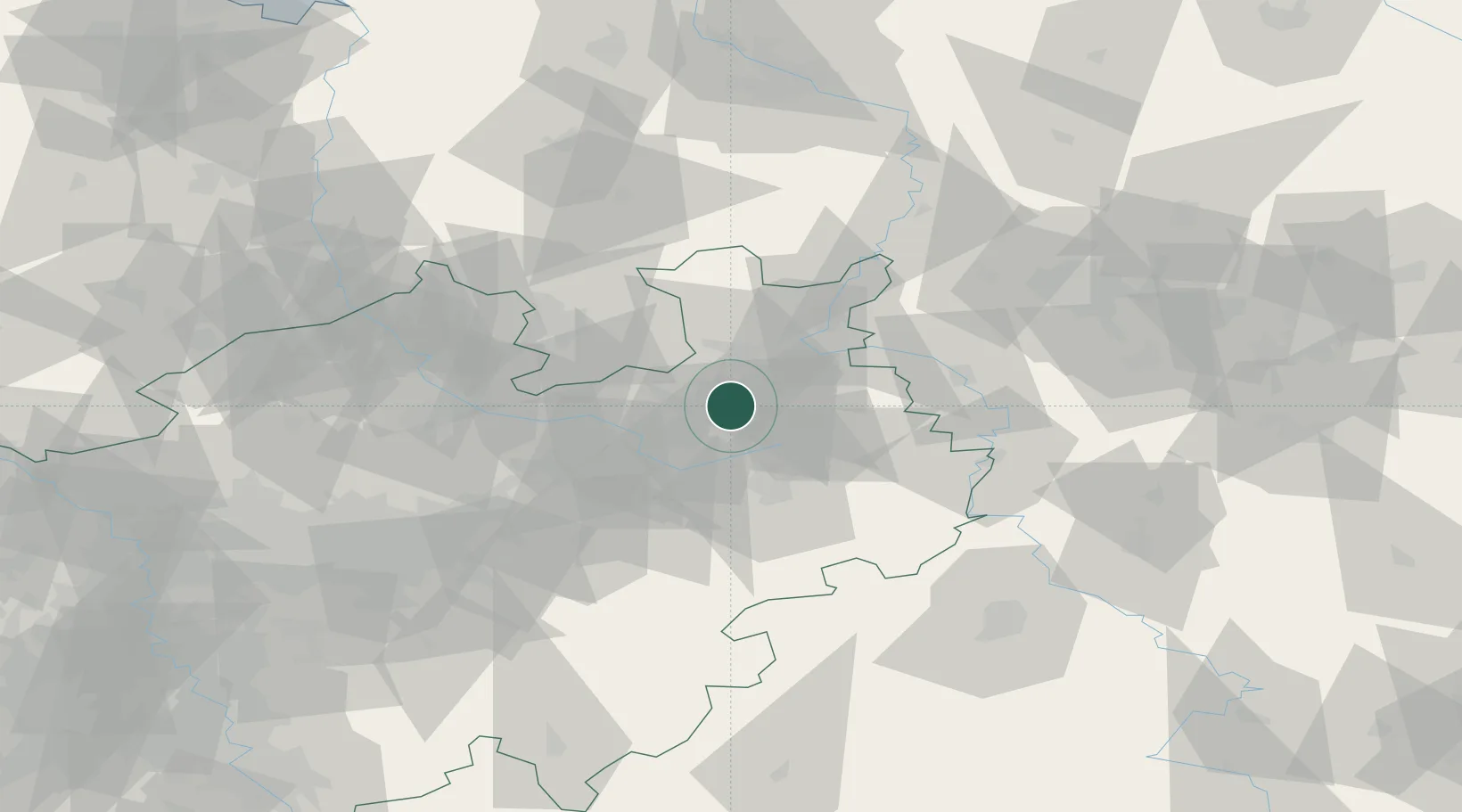
Hub Profile
Place type
Local administrative seat
Region
North Rhine-Westphalia
Population
331,906
Time zone
Europe/Berlin
Elevation
111 m
Logistics facilities
1
Location
Nearby Logistics Neighbours
Cities
- 1Oerlinghausen6 km
- 2Brackwede7 km
- 3Jüchen10 km
- 4Bad Salzuflen11 km
- 5Biebesheim12 km
Airports
- 1Bielefeld Airport6 km
- 2Paderborn Lippstadt Airport43 km
- 3Bückeburg Air Base45 km
- 4Münster Osnabrück Airport64 km
- 5Diepholz Air Base67 km
Trade Zones
DatabookThe Record of Consolidated Knowledge
Germany beyond logistics?