Transport Functions
Multimodal
Hub Profile
Place type
Urban district
Region
North Rhine-Westphalia
Time zone
Europe/Berlin
Elevation
146 m
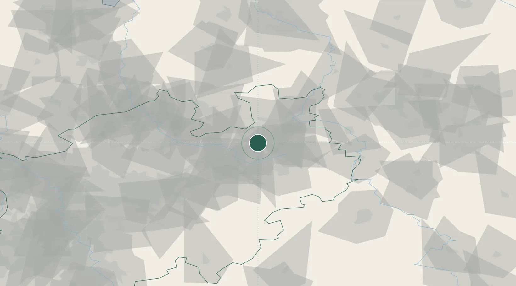
Location
Nearby Logistics Neighbours
Cities
- 1Bielefeld7 km
- 2Oerlinghausen10 km
- 3Oldinghausen15 km
- 4Jüchen17 km
- 5Marienfeld18 km
Airports
- 1Bielefeld Airport3 km
- 2Paderborn Lippstadt Airport42 km
- 3Bückeburg Air Base51 km
- 4Münster Osnabrück Airport59 km
- 5Diepholz Air Base68 km
Trade Zones
DatabookThe Record of Consolidated Knowledge
Germany beyond logistics?