Transport Functions
Multimodal
Hub Profile
Place type
Local administrative seat
Region
North Rhine-Westphalia
Population
22,562
Time zone
Europe/Berlin
Elevation
75 m
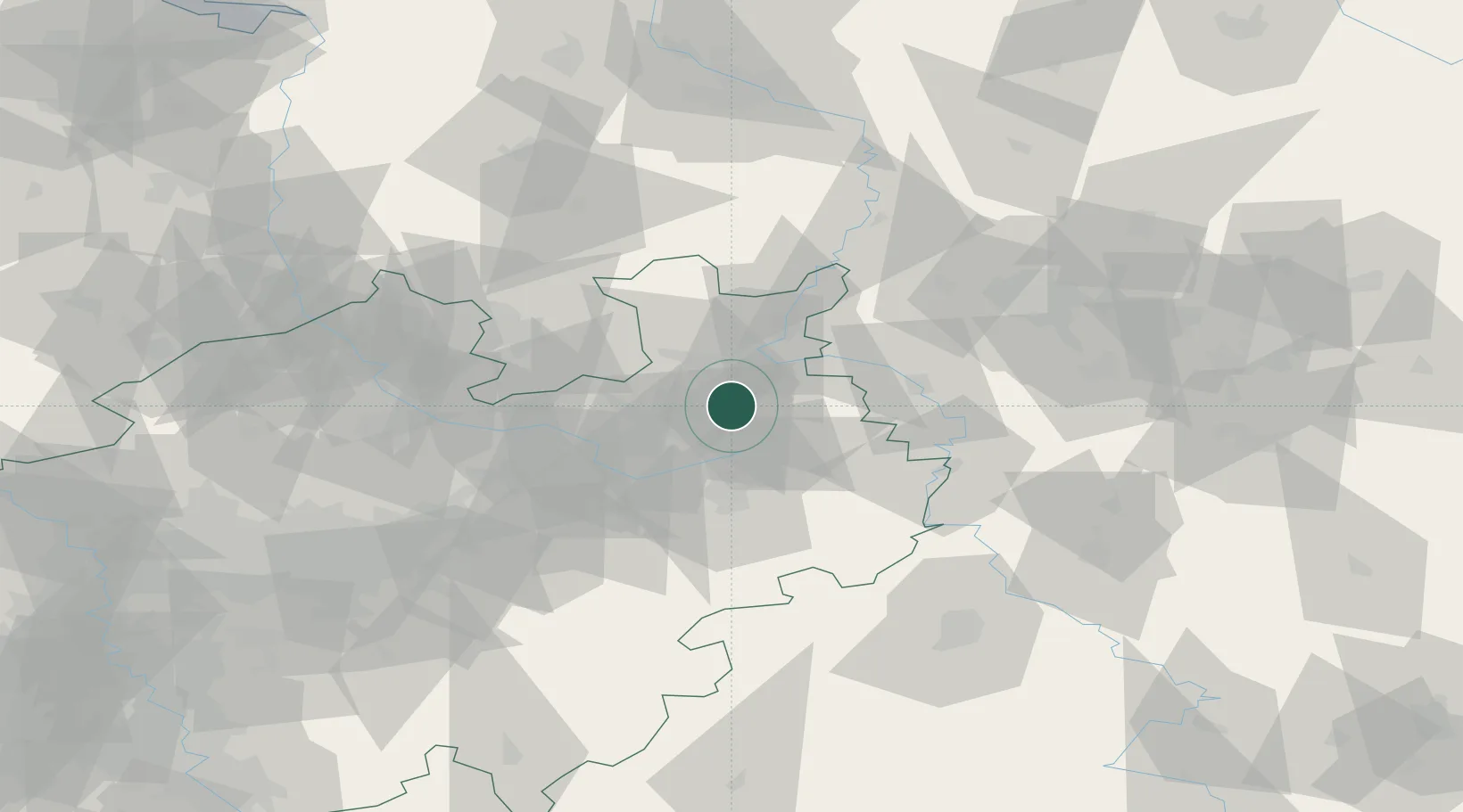
Location
Nearby Logistics Neighbours
Cities
- 1Bad Salzuflen1 km
- 2Biebesheim2 km
- 3Oerlinghausen9 km
- 4Bielefeld10 km
- 5Oldinghausen16 km
Airports
- 1Bielefeld Airport16 km
- 2Bückeburg Air Base35 km
- 3Paderborn Lippstadt Airport48 km
- 4Wunstorf Air Base66 km
- 5Diepholz Air Base67 km
Trade Zones
DatabookThe Record of Consolidated Knowledge
Germany beyond logistics?