UN/LOCODE hub · Germany
DEODD

Oberding

48.3167°, 11.8500°
5,101
Population
2
Transport functions

Transport Functions

Road
Multimodal
UN/LOCODE

Hub Profile

Place type
Local administrative seat
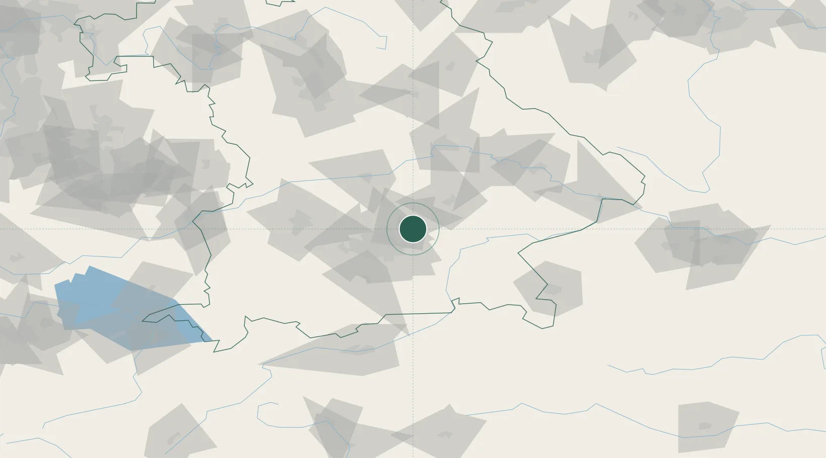
GeoNames
Region
Bavaria
GeoNames
Population
5,101
GeoNames
Time zone
Europe/Berlin
GeoNames
Elevation
463 m
GeoNames

Location

Location of DEODD
Natural Earth 10m (public domain) · Bavaria · DEODD · 48.32, 11.85GoogleOSMYandex

Nearby Logistics Neighbours

Cities
  1. 1Moosinning4 km
  2. 2Niederneuching7 km
  3. 3Wörth bei Erding10 km
  4. 4Durneck11 km
  5. 5Langenbach13 km
Nearest neighbours — logibook spatial index (haversine) over the source coordinates
Ports
  1. 1Nogaro301 km
  2. 2Monfalcone310 km
  3. 3Grado311 km
  4. 4Porto Di Lido-Venezia326 km
  5. 5Trieste329 km
Nearest neighbours — logibook spatial index (haversine) over the source coordinates
Airports
  1. 1Munich Airport6 km
  2. 2Landshut Airfield26 km
  3. 3Altstetten Ultralight Field42 km
  4. 4Oberpfaffenhofen Airport50 km
  5. 5Ingolstadt Manching Airport50 km
Nearest neighbours — logibook spatial index (haversine) over the source coordinates
Trade Zones
  1. 1Freeport of Deggendorf97 km
  2. 2Livigno Free Trade Zone238 km
  3. 3Podbořany Industrial Zone241 km
  4. 4Žatec - Triangle Strategic Industrial Zone261 km
  5. 5Most - Joseph Industrial Zone274 km
Nearest neighbours — logibook spatial index (haversine) over the source coordinates
DatabookThe Record of Consolidated Knowledge
Germany beyond logistics?
Browse databook

All Sources

LocationsUN/LOCODE
UN/LOCODE — free
LocationsGeoNames
CC BY 4.0
Portsthe NGA World Port Index
Public domain (US gov)
AirportsOurAirports
Public domain
Trade Zonesthe World Bank SEZ database
CC BY 4.0
Trade ZonesOpen Zone Map
CC BY
← Germany locations