UN/LOCODE hub · Germany
DELHC

Langenbach

48.4333°, 11.8500°
3,755
Population
1
Transport functions

Transport Functions

Multimodal
UN/LOCODE

Hub Profile

Place type
Local administrative seat
GeoNames
Region
Bavaria
GeoNames
Population
3,755
GeoNames
Time zone
Europe/Berlin
GeoNames
Elevation
434 m
GeoNames

Location

Location of DELHC
Natural Earth 10m (public domain) · Bavaria · DELHC · 48.43, 11.85GoogleOSMYandex

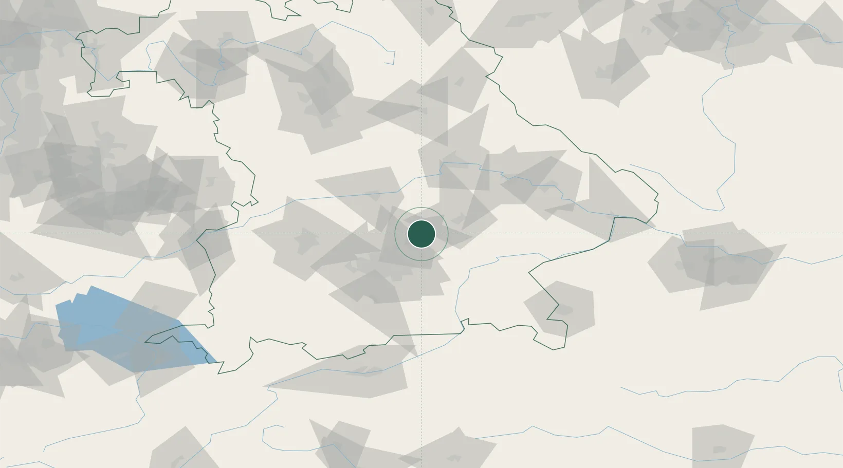
Nearby Logistics Neighbours

Cities
  1. 1Mauern10 km
  2. 2Nandlstadt12 km
  3. 3Durneck12 km
  4. 4Oberding13 km
  5. 5Gammelsdorf15 km
Nearest neighbours — logibook spatial index (haversine) over the source coordinates
Ports
  1. 1Nogaro314 km
  2. 2Monfalcone322 km
  3. 3Grado323 km
  4. 4Porto Di Lido-Venezia338 km
  5. 5Trieste341 km
Nearest neighbours — logibook spatial index (haversine) over the source coordinates
Airports
  1. 1Munich Airport10 km
  2. 2Landshut Airfield16 km
  3. 3Ingolstadt Manching Airport39 km
  4. 4Altstetten Ultralight Field44 km
  5. 5Neuburg Air Base56 km
Nearest neighbours — logibook spatial index (haversine) over the source coordinates
Trade Zones
  1. 1Freeport of Deggendorf90 km
  2. 2Podbořany Industrial Zone229 km
  3. 3Livigno Free Trade Zone249 km
  4. 4Žatec - Triangle Strategic Industrial Zone249 km
  5. 5Most - Joseph Industrial Zone262 km
Nearest neighbours — logibook spatial index (haversine) over the source coordinates
DatabookThe Record of Consolidated Knowledge
Germany beyond logistics?
Browse databook

All Sources

LocationsUN/LOCODE
UN/LOCODE — free
LocationsGeoNames
CC BY 4.0
Portsthe NGA World Port Index
Public domain (US gov)
AirportsOurAirports
Public domain
Trade Zonesthe World Bank SEZ database
CC BY 4.0
Trade ZonesOpen Zone Map
CC BY
← Germany locations