Transport Functions
Port
Road
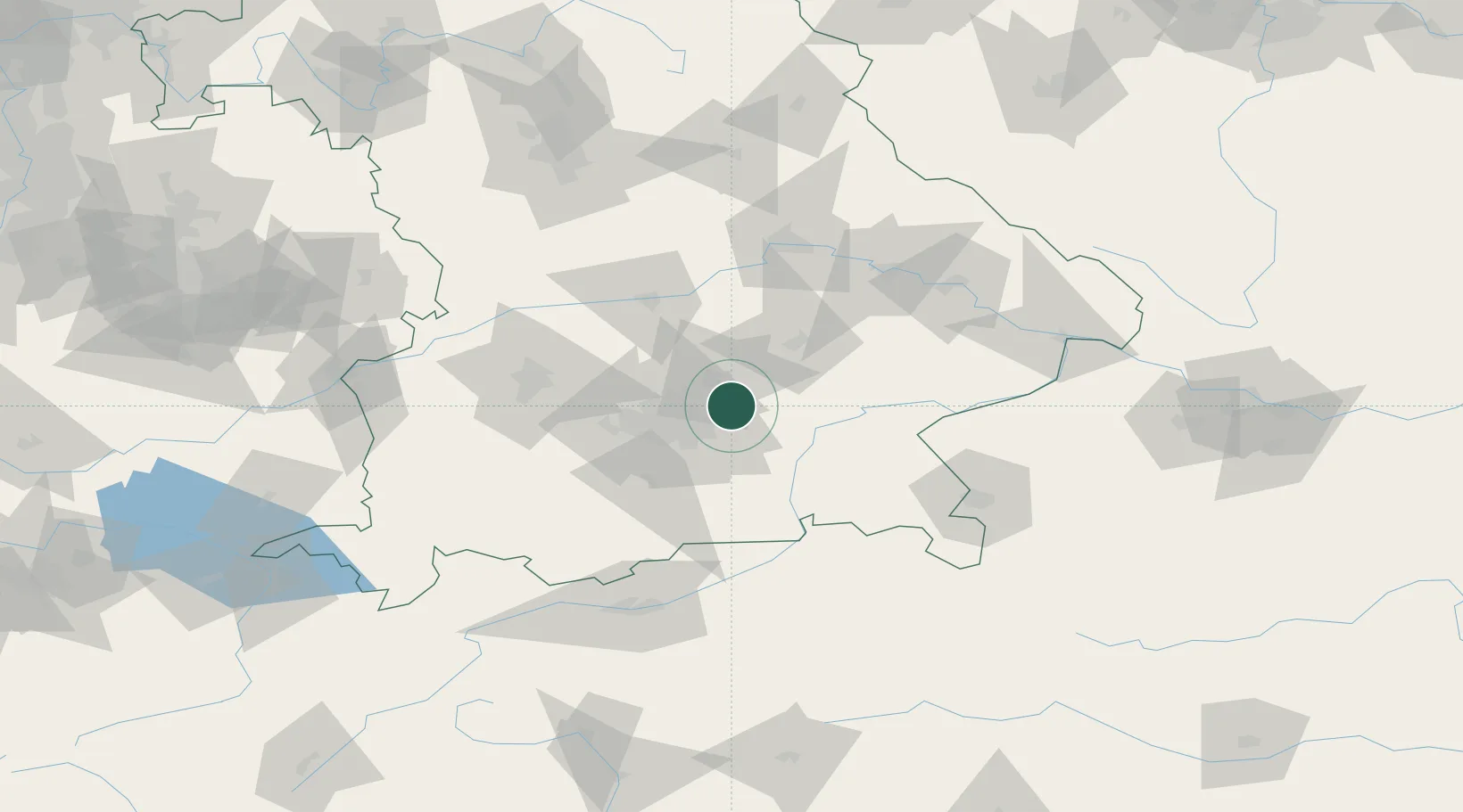
Hub Profile
Place type
Populated place
Region
Bavaria
Time zone
Europe/Berlin
Elevation
490 m
Location
Nearby Logistics Neighbours
Cities
- 1Moosinning4 km
- 2Wörth bei Erding4 km
- 3Oberding7 km
- 4Aschheim14 km
- 5Feldkirchen15 km
Ports
- 1Nogaro294 km
- 2Monfalcone303 km
- 3Grado304 km
- 4Porto Di Lido-Venezia318 km
- 5Trieste323 km
Airports
- 1Munich Airport13 km
- 2Landshut Airfield32 km
- 3Altstetten Ultralight Field42 km
- 4Oberpfaffenhofen Airport46 km
- 5Ingolstadt Manching Airport57 km
Trade Zones
DatabookThe Record of Consolidated Knowledge
Germany beyond logistics?