Transport Functions
Road
Multimodal
Hub Profile
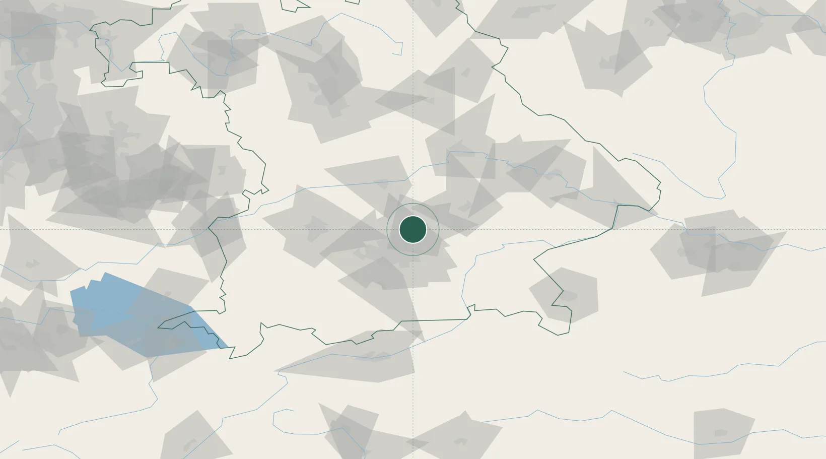
Place type
Populated place
Region
Bavaria
Time zone
Europe/Berlin
Elevation
449 m
Location
Nearby Logistics Neighbours
Cities
- 1Massenhausen6 km
- 2Neufahrn bei Freising7 km
- 3Kranzberg8 km
- 4Oberding11 km
- 5Hollern11 km
Ports
- 1Nogaro310 km
- 2Monfalcone319 km
- 3Grado320 km
- 4Porto Di Lido-Venezia333 km
- 5Trieste339 km
Airports
- 1Munich Airport5 km
- 2Landshut Airfield29 km
- 3Altstetten Ultralight Field33 km
- 4Ingolstadt Manching Airport41 km
- 5Oberpfaffenhofen Airport45 km
Trade Zones
DatabookThe Record of Consolidated Knowledge
Germany beyond logistics?