Transport Functions
Rail
Road
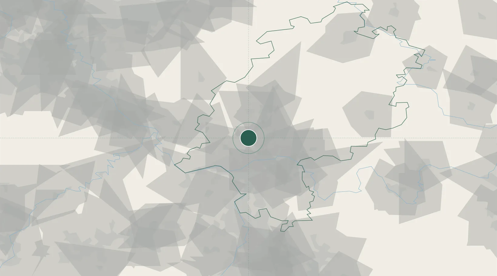
Hub Profile
Place type
Local administrative seat
Region
Hesse
Population
15,276
Time zone
Europe/Berlin
Elevation
320 m
Location
Nearby Logistics Neighbours
Cities
- 1Grävenwiesbach8 km
- 2Friedrichsdorf12 km
- 3Ober-Mörlen14 km
- 4Königstein15 km
- 5Rosbach vor der Hohe16 km
Airports
- 1Wiesbaden Army Airfield32 km
- 2Frankfurt Main Airport33 km
- 3Frankfurt-Egelsbach Airport41 km
- 4Mainz-Finthen Airfield46 km
- 5Siegerland Airport53 km
Trade Zones
- 1Rheinische Revier SWZ163 km
- 2ZFU La Cité Behren-lès-Forbach171 km
- 3Luxembourg Free Port179 km
- 4Freeport of Duisburg184 km
- 5ZFU Hautepierre200 km
DatabookThe Record of Consolidated Knowledge
Germany beyond logistics?