Transport Functions
Rail
Road
Hub Profile
Place type
Local administrative seat
Region
Hesse
Population
5,245
Time zone
Europe/Berlin
Elevation
296 m
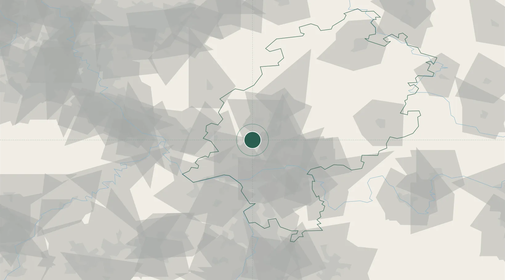
Location
Nearby Logistics Neighbours
Cities
- 1Neu-Anspach8 km
- 2Hüttenberg15 km
- 3Ober-Mörlen17 km
- 4Butzbach17 km
- 5Langgöns18 km
Airports
- 1Wiesbaden Army Airfield38 km
- 2Frankfurt Main Airport40 km
- 3Siegerland Airport44 km
- 4Frankfurt-Egelsbach Airport49 km
- 5Mainz-Finthen Airfield51 km
Trade Zones
- 1Rheinische Revier SWZ157 km
- 2ZFU La Cité Behren-lès-Forbach174 km
- 3Freeport of Duisburg176 km
- 4Luxembourg Free Port179 km
- 5ZFU Hautepierre206 km
DatabookThe Record of Consolidated Knowledge
Germany beyond logistics?