Transport Functions
Rail
Road
Hub Profile
Region
HE
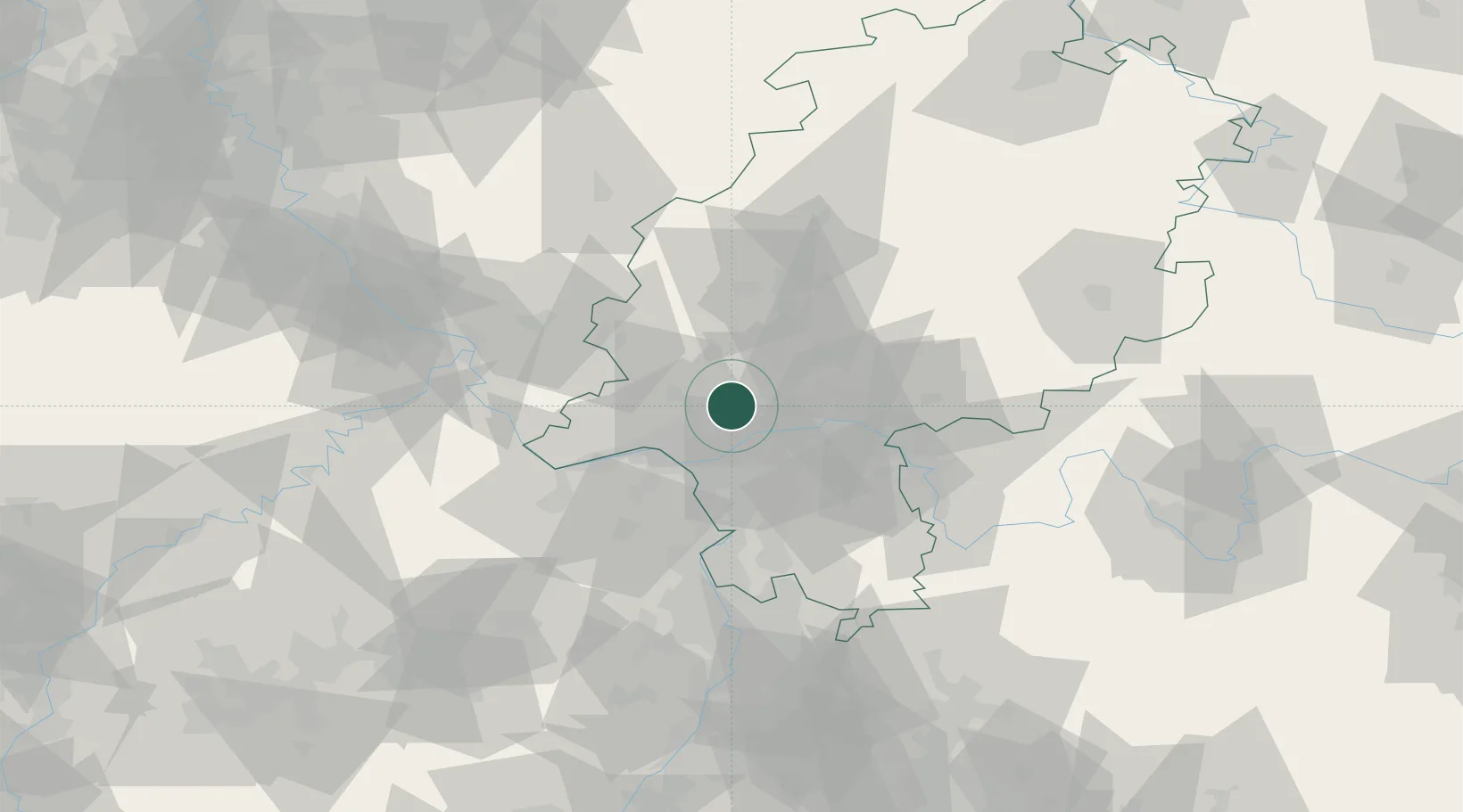
Location
Nearby Logistics Neighbours
Cities
- 1Eppstein9 km
- 2Höchst11 km
- 3Langenhain11 km
- 4Hofheim/Taunus11 km
- 5Niedernhausen11 km
Airports
- 1Wiesbaden Army Airfield18 km
- 2Frankfurt Main Airport19 km
- 3Frankfurt-Egelsbach Airport28 km
- 4Mainz-Finthen Airfield33 km
- 5Siegerland Airport64 km
Trade Zones
- 1ZFU La Cité Behren-lès-Forbach158 km
- 2Rheinische Revier SWZ168 km
- 3Luxembourg Free Port172 km
- 4ZFU Hautepierre185 km
- 5ZFU Neuhof190 km
DatabookThe Record of Consolidated Knowledge
Germany beyond logistics?