Transport Functions
Rail
Road
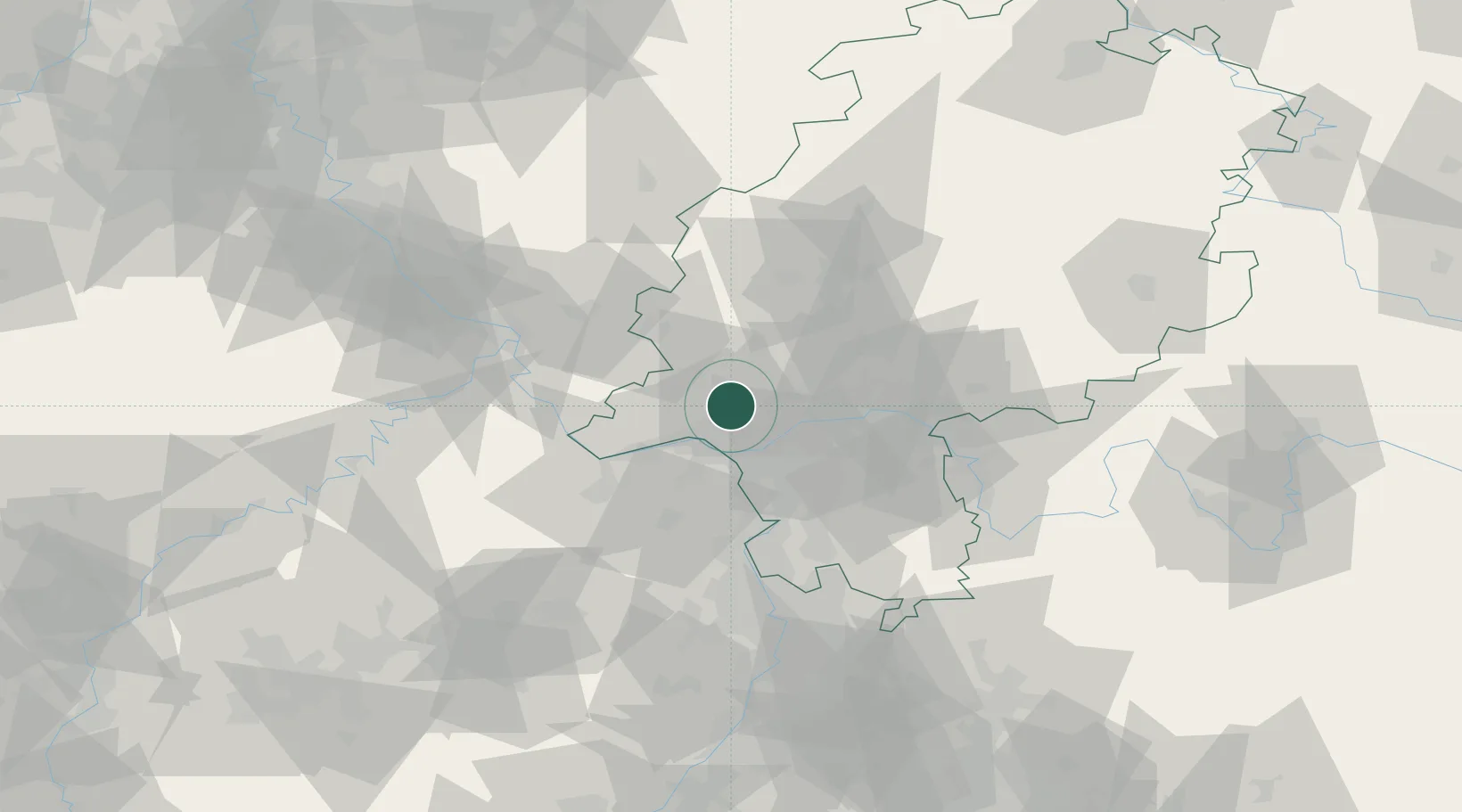
Hub Profile
Place type
Local administrative seat
Region
Hesse
Population
14,494
Time zone
Europe/Berlin
Elevation
271 m
Location
Nearby Logistics Neighbours
Cities
- 1Eppstein7 km
- 2Langenhain7 km
- 3Königstein11 km
- 4Hofheim/Taunus12 km
- 5Mainz Kastel15 km
Airports
- 1Wiesbaden Army Airfield11 km
- 2Frankfurt Main Airport22 km
- 3Mainz-Finthen Airfield24 km
- 4Frankfurt-Egelsbach Airport32 km
- 5Siegerland Airport64 km
Trade Zones
- 1ZFU La Cité Behren-lès-Forbach148 km
- 2Luxembourg Free Port160 km
- 3Rheinische Revier SWZ161 km
- 4ZFU Hautepierre179 km
- 5ZFU Neuhof183 km
DatabookThe Record of Consolidated Knowledge
Germany beyond logistics?