Transport Functions
Rail
Road
Hub Profile
Region
HE
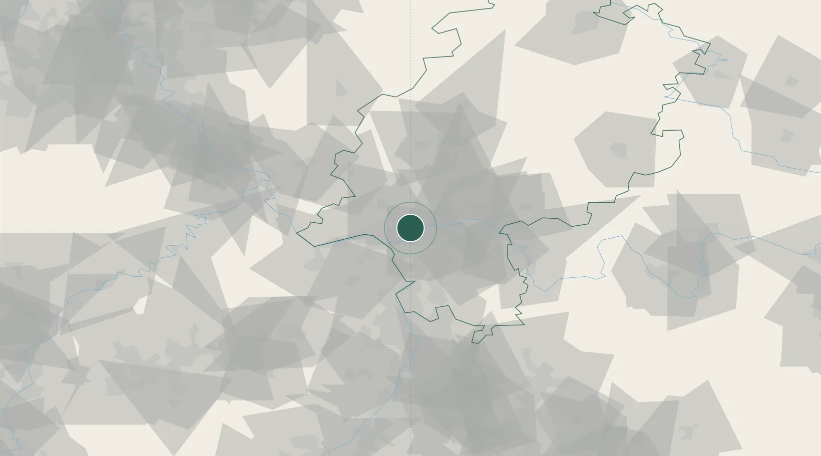
Location
Nearby Logistics Neighbours
Cities
- 1Hattersheim3 km
- 2Langenhain5 km
- 3Eppstein5 km
- 4Höchst7 km
- 5Bischofsheim11 km
Airports
- 1Wiesbaden Army Airfield10 km
- 2Frankfurt Main Airport10 km
- 3Frankfurt-Egelsbach Airport19 km
- 4Mainz-Finthen Airfield25 km
- 5Mannheim-City Airport68 km
Trade Zones
- 1ZFU La Cité Behren-lès-Forbach150 km
- 2Luxembourg Free Port167 km
- 3Rheinische Revier SWZ173 km
- 4ZFU Hautepierre174 km
- 5ZFU Neuhof179 km
DatabookThe Record of Consolidated Knowledge
Germany beyond logistics?