Transport Functions
Road
Multimodal
Hub Profile
Place type
Populated place
Region
Hesse
Time zone
Europe/Berlin
Elevation
338 m
Location
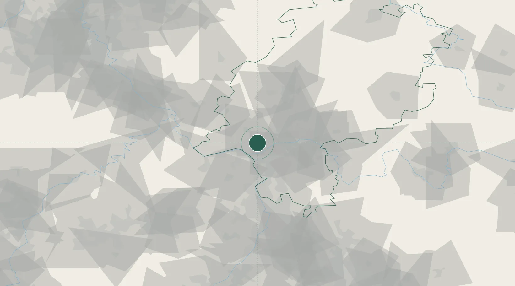
Nearby Logistics Neighbours
Cities
- 1Eppstein2 km
- 2Hofheim/Taunus5 km
- 3Niedernhausen7 km
- 4Hattersheim8 km
- 5Königstein11 km
Airports
- 1Wiesbaden Army Airfield7 km
- 2Frankfurt Main Airport15 km
- 3Mainz-Finthen Airfield22 km
- 4Frankfurt-Egelsbach Airport24 km
- 5Mannheim-City Airport70 km
Trade Zones
- 1ZFU La Cité Behren-lès-Forbach148 km
- 2Luxembourg Free Port163 km
- 3Rheinische Revier SWZ168 km
- 4ZFU Hautepierre175 km
- 5ZFU Neuhof179 km
DatabookThe Record of Consolidated Knowledge
Germany beyond logistics?