Transport Functions
Rail
Road
Hub Profile
Region
HE
Logistics facilities
1
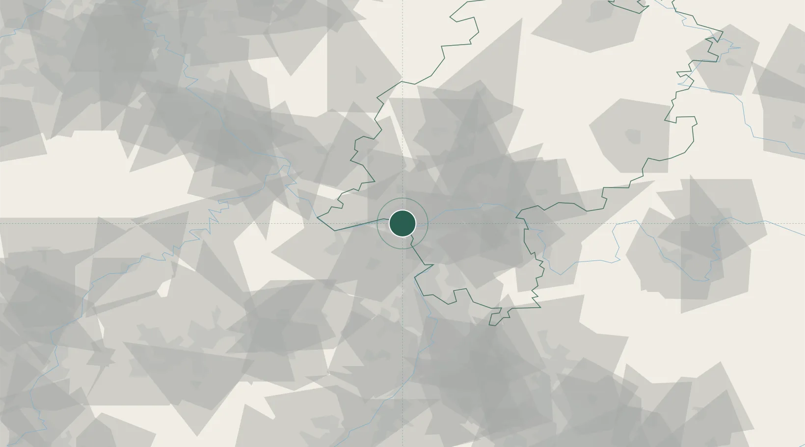
Location
Nearby Logistics Neighbours
Cities
- 1Mainz1 km
- 2Mainz-Kostheim2 km
- 3Bischofsheim6 km
- 4Schierstein8 km
- 5Bodenheim9 km
Airports
- 1Wiesbaden Army Airfield4 km
- 2Mainz-Finthen Airfield12 km
- 3Frankfurt Main Airport19 km
- 4Frankfurt-Egelsbach Airport26 km
- 5Mannheim-City Airport63 km
Trade Zones
- 1ZFU La Cité Behren-lès-Forbach136 km
- 2Luxembourg Free Port154 km
- 3ZFU Hautepierre164 km
- 4Rheinische Revier SWZ168 km
- 5ZFU Neuhof169 km
DatabookThe Record of Consolidated Knowledge
Germany beyond logistics?