Transport Functions
Rail
Road
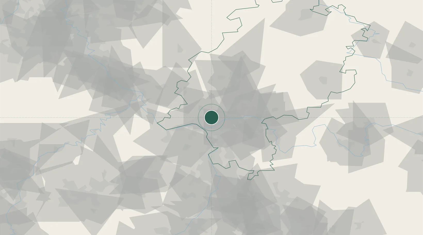
Hub Profile
Place type
Populated place
Region
Hesse
Population
13,374
Time zone
Europe/Berlin
Elevation
240 m
Location
Nearby Logistics Neighbours
Cities
- 1Langenhain2 km
- 2Hofheim/Taunus5 km
- 3Niedernhausen7 km
- 4Hattersheim8 km
- 5Königstein9 km
Airports
- 1Wiesbaden Army Airfield9 km
- 2Frankfurt Main Airport15 km
- 3Mainz-Finthen Airfield25 km
- 4Frankfurt-Egelsbach Airport25 km
- 5Siegerland Airport70 km
Trade Zones
- 1ZFU La Cité Behren-lès-Forbach150 km
- 2Luxembourg Free Port165 km
- 3Rheinische Revier SWZ168 km
- 4ZFU Hautepierre177 km
- 5ZFU Neuhof181 km
DatabookThe Record of Consolidated Knowledge
Germany beyond logistics?