Transport Functions
Multimodal
Hub Profile
Place type
Local administrative seat
Region
Saxony
Population
2,533
Time zone
Europe/Berlin
Elevation
283 m
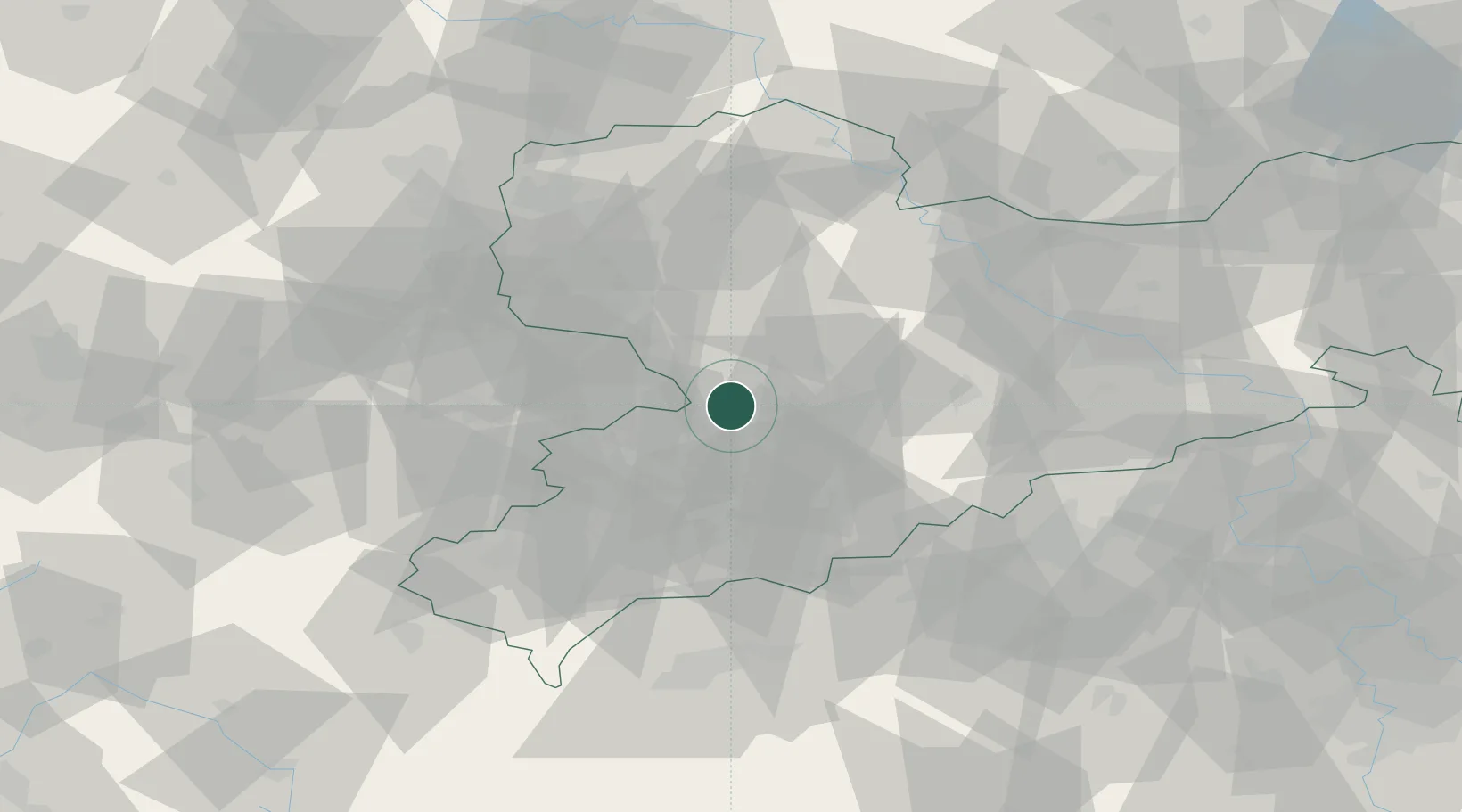
Location
Nearby Logistics Neighbours
Cities
- 1Mühlau2 km
- 2Burgstädt6 km
- 3Wittgensdorf7 km
- 4Hohenstein-Ernstthal10 km
- 5Mittelbach10 km
Ports
- 1Szczecin307 km
- 2Police323 km
- 3Wismar347 km
- 4Swinoujscie353 km
- 5Hamburg353 km
Airports
- 1Leipzig–Altenburg Airport20 km
- 2Leipzig/Halle Airport70 km
- 3Dresden Airport77 km
- 4Karlovy Vary Airport77 km
- 5Hof-Plauen Airport92 km
Trade Zones
DatabookThe Record of Consolidated Knowledge
Germany beyond logistics?