Transport Functions
Multimodal
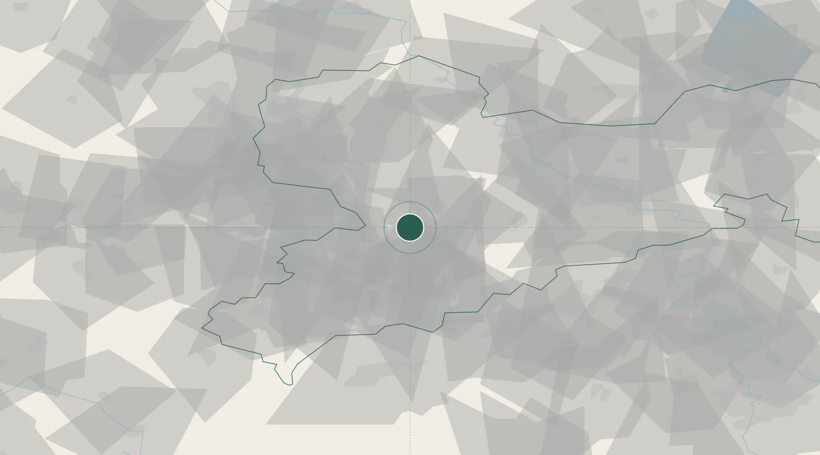
Hub Profile
Place type
Populated place
Region
Saxony
Population
4,440
Time zone
Europe/Berlin
Elevation
312 m
Location
Nearby Logistics Neighbours
Cities
- 1Burgstädt4 km
- 2Auerswalde5 km
- 3Mühlau6 km
- 4Niederfrohna7 km
- 5Mittelbach10 km
Ports
- 1Szczecin305 km
- 2Police320 km
- 3Wismar348 km
- 4Swinoujscie351 km
- 5Hamburg357 km
Airports
- 1Leipzig–Altenburg Airport27 km
- 2Dresden Airport70 km
- 3Leipzig/Halle Airport74 km
- 4Karlovy Vary Airport76 km
- 5Hof-Plauen Airport97 km
Trade Zones
DatabookThe Record of Consolidated Knowledge
Germany beyond logistics?