Transport Functions
Rail
Road
Hub Profile
Place type
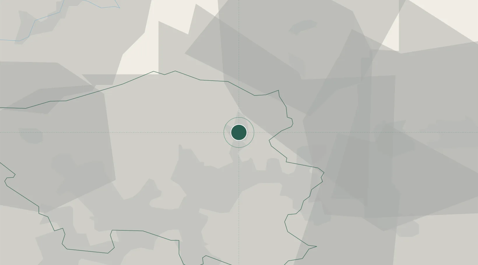
District seat
Region
Saarland
Population
26,904
Time zone
Europe/Berlin
Elevation
301 m
Location
Nearby Logistics Neighbours
Cities
- 1Oberthal7 km
- 2Altenkirchen11 km
- 3Freisen11 km
- 4Schiffweiler11 km
- 5Wemmetsweiler13 km
Airports
- 1Saarbrücken Airport28 km
- 2Ramstein Air Base32 km
- 3Frankfurt-Hahn Airport54 km
- 4Spangdahlem Air Base66 km
- 5Luxembourg-Findel International Airport71 km
Trade Zones
- 1ZFU La Cité Behren-lès-Forbach38 km
- 2Luxembourg Free Port71 km
- 3ZFU Woippy-Metz82 km
- 4ZFU Metz83 km
- 5ZFU Hautepierre104 km
DatabookThe Record of Consolidated Knowledge
Germany beyond logistics?