Transport Functions
Rail
Road
Hub Profile
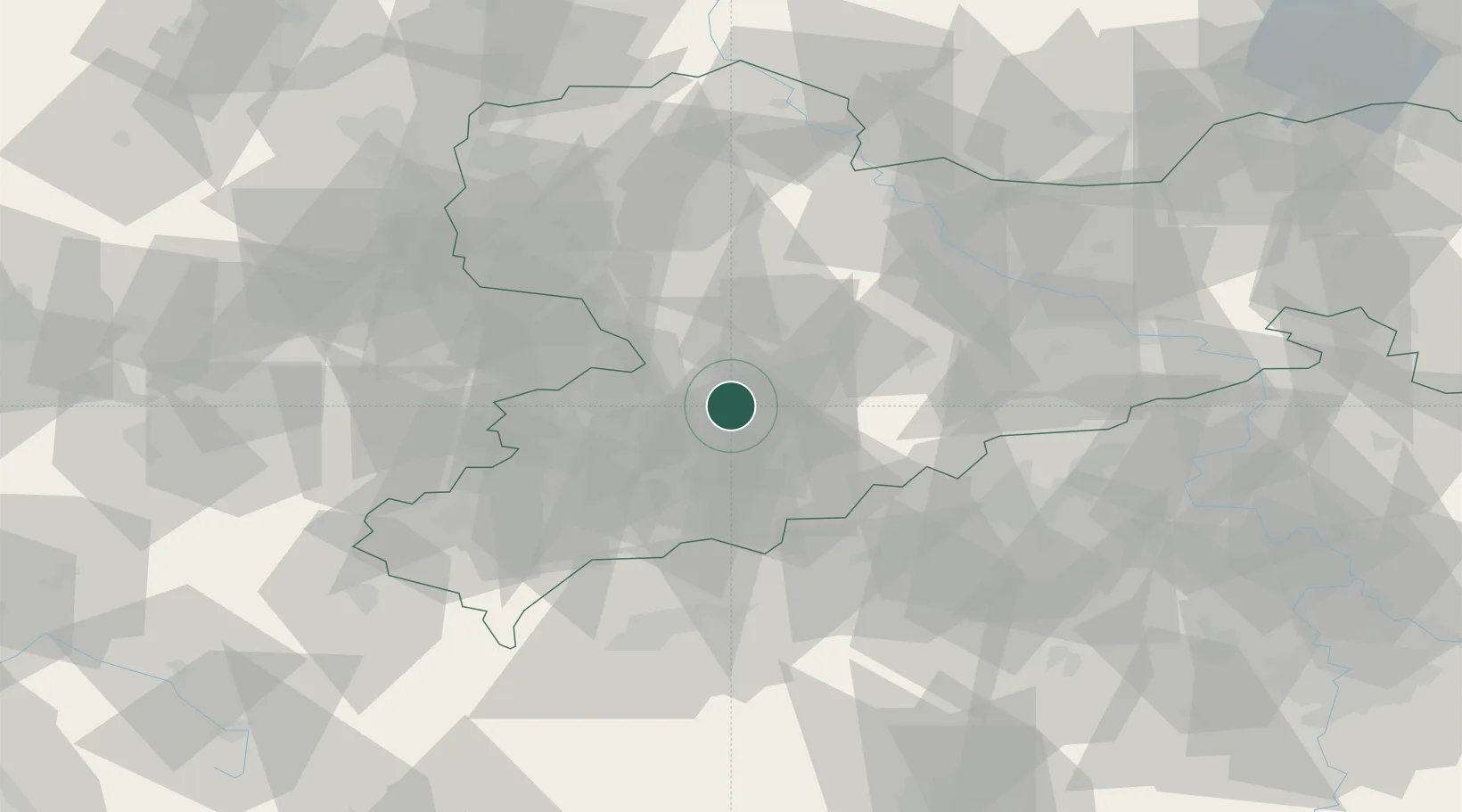
Region
SN
Location
Nearby Logistics Neighbours
Cities
- 1Mittelbach6 km
- 2Niederdorf8 km
- 3Lugau (Erzgebirge)10 km
- 4Oberlungwitz11 km
- 5Hohenstein-Ernstthal11 km
Ports
- 1Szczecin315 km
- 2Police331 km
- 3Wismar359 km
- 4Swinoujscie361 km
- 5Hamburg367 km
Airports
- 1Leipzig–Altenburg Airport34 km
- 2Karlovy Vary Airport65 km
- 3Dresden Airport74 km
- 4Leipzig/Halle Airport84 km
- 5Hof-Plauen Airport90 km
Trade Zones
DatabookThe Record of Consolidated Knowledge
Germany beyond logistics?