Transport Functions
Multimodal
Hub Profile
Region
BB
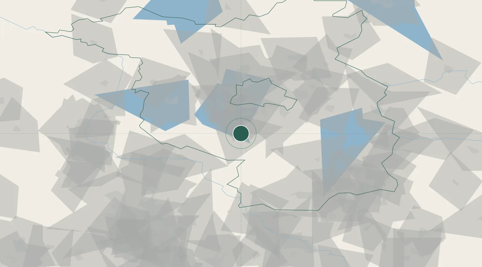
Location
Nearby Logistics Neighbours
Cities
- 1Luckenwalde4 km
- 2Trebbin11 km
- 3Mellensee16 km
- 4Niedergörsdorf20 km
- 5Beelitz21 km
Ports
- 1Szczecin171 km
- 2Police186 km
- 3Swinoujscie213 km
- 4Wolgast219 km
- 5Wismar230 km
Airports
- 1Berlin Brandenburg Airport34 km
- 2Holzdorf Air Base39 km
- 3Zerbst Airfield73 km
- 4Leipzig/Halle Airport102 km
- 5Dresden Airport116 km
Trade Zones
- 1Kostrzyń-Słubice SEZ111 km
- 2Szczecin Duty Free Zone172 km
- 3Most - Joseph Industrial Zone184 km
- 4Žatec - Triangle Strategic Industrial Zone193 km
- 5Legnica SEZ (Legnicka SSE)210 km
DatabookThe Record of Consolidated Knowledge
Germany beyond logistics?