Transport Functions
Rail
Road
Hub Profile
Place type
Populated place
Region
Hesse
Time zone
Europe/Berlin
Elevation
240 m
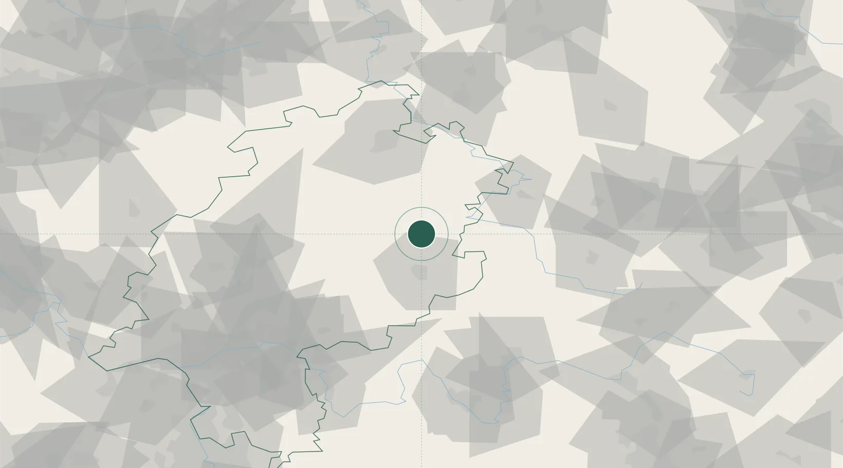
Location
Nearby Logistics Neighbours
Cities
- 1Hauneck6 km
- 2Eiterfeld7 km
- 3Burghaun8 km
- 4Niederaula8 km
- 5Kirchheim12 km
Airports
- 1Fritzlar Army Airfield48 km
- 2Eisenach-Kindel Airport60 km
- 3Kassel Airport76 km
- 4Erfurt-Weimar Airport92 km
- 5Siegerland Airport114 km
Trade Zones
DatabookThe Record of Consolidated Knowledge
Germany beyond logistics?