Transport Functions
Rail
Road
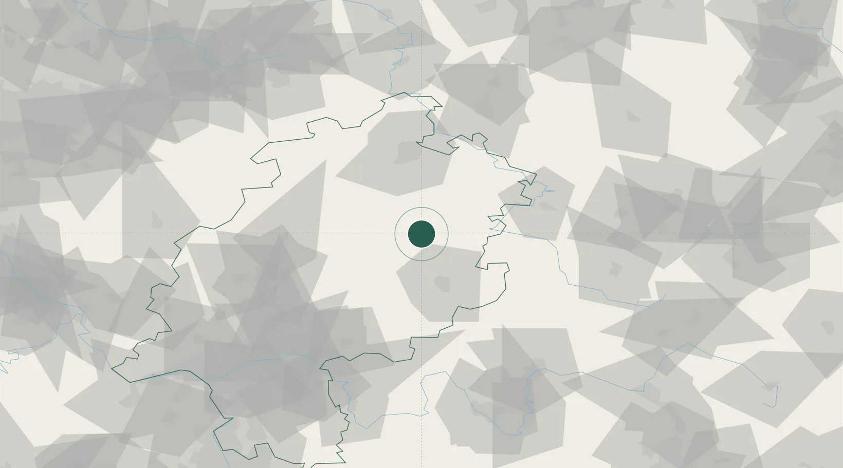
Hub Profile
Place type
Local administrative seat
Region
Hesse
Population
3,913
Time zone
Europe/Berlin
Elevation
246 m
Location
Nearby Logistics Neighbours
Cities
- 1Niederaula4 km
- 2Oberaula7 km
- 3Grebenau12 km
- 4Hauneck12 km
- 5Neukirchen12 km
Airports
- 1Fritzlar Army Airfield37 km
- 2Kassel Airport66 km
- 3Eisenach-Kindel Airport66 km
- 4Erfurt-Weimar Airport99 km
- 5Siegerland Airport105 km
Trade Zones
- 1Freeport of Duisburg219 km
- 2Rheinische Revier SWZ224 km
- 3Freeport of Bremerhaven (Freihafen Bremerhaven)257 km
- 4ZFU La Cité Behren-lès-Forbach264 km
- 5Luxembourg Free Port272 km
DatabookThe Record of Consolidated Knowledge
Germany beyond logistics?