Transport Functions
Multimodal
Hub Profile
Place type
Local administrative seat
Region
Hesse
Population
7,613
Time zone
Europe/Berlin
Elevation
343 m
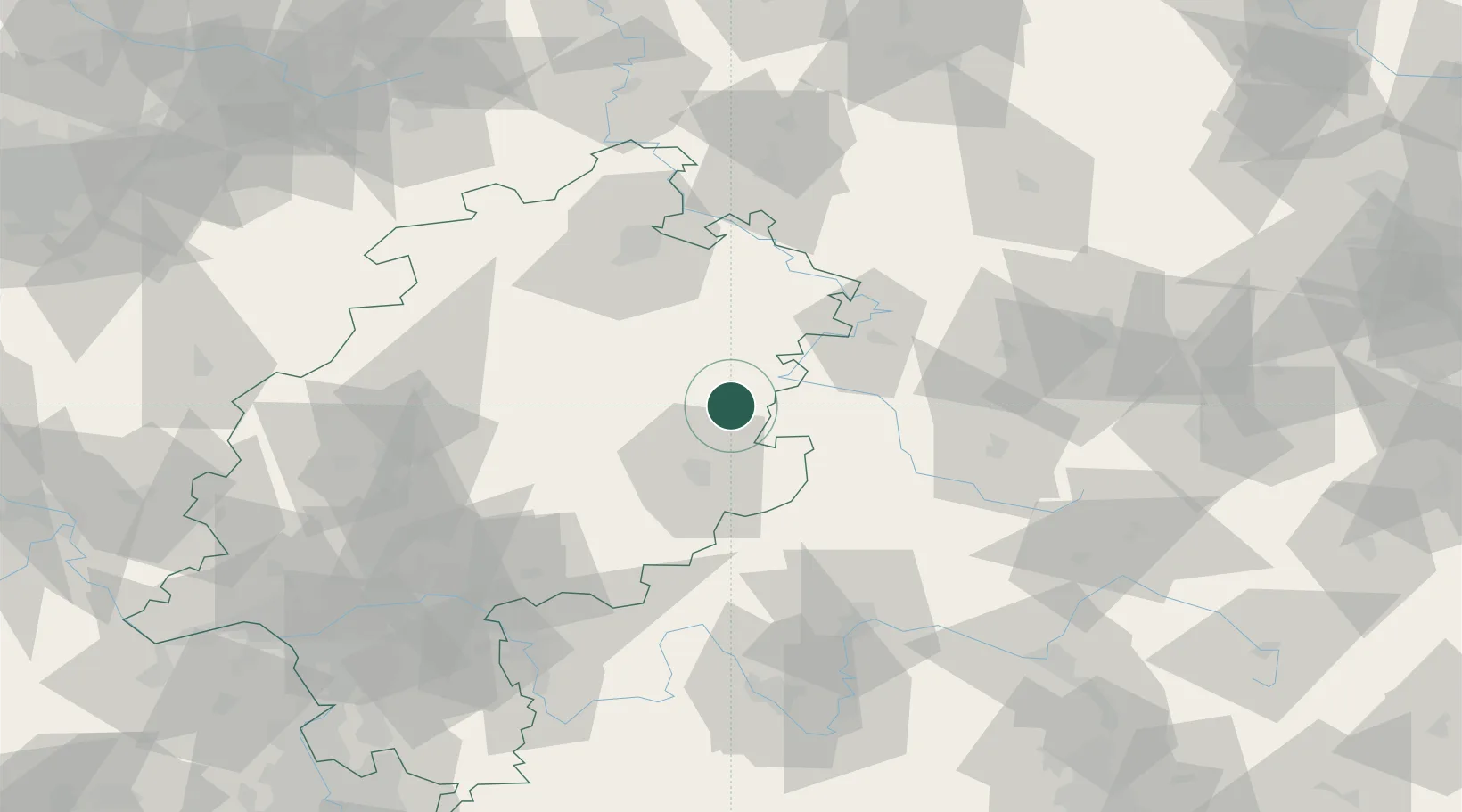
Location
Nearby Logistics Neighbours
Cities
- 1Neukirchen7 km
- 2Hauneck7 km
- 3Burghaun10 km
- 4Ludwigsau14 km
- 5Niederaula15 km
Airports
- 1Fritzlar Army Airfield53 km
- 2Eisenach-Kindel Airport54 km
- 3Kassel Airport78 km
- 4Erfurt-Weimar Airport85 km
- 5Frankfurt Main Airport121 km
Trade Zones
DatabookThe Record of Consolidated Knowledge
Germany beyond logistics?