UN/LOCODE hub · Germany
DEHH7

Hauneck

50.8167°, 9.7333°
2
Transport functions

Transport Functions

Port
Multimodal
UN/LOCODE

Hub Profile

Region
HE
GeoNames

Location

Location of DEHH7
Natural Earth 10m (public domain) · HE · DEHH7 · 50.82, 9.73GoogleOSMYandex

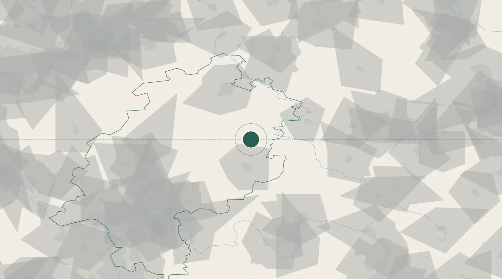
Nearby Logistics Neighbours

Cities
  1. 1Neukirchen6 km
  2. 2Eiterfeld7 km
  3. 3Ludwigsau7 km
  4. 4Niederaula10 km
  5. 5Kirchheim12 km
Nearest neighbours — logibook spatial index (haversine) over the source coordinates
Ports
  1. 1Bremen266 km
  2. 2Oldenburg276 km
  3. 3Elsfleth282 km
  4. 4Brake293 km
  5. 5Papenburg301 km
Nearest neighbours — logibook spatial index (haversine) over the source coordinates
Airports
  1. 1Fritzlar Army Airfield46 km
  2. 2Eisenach-Kindel Airport56 km
  3. 3Kassel Airport71 km
  4. 4Erfurt-Weimar Airport88 km
  5. 5Siegerland Airport117 km
Nearest neighbours — logibook spatial index (haversine) over the source coordinates
Trade Zones
  1. 1Freeport of Duisburg230 km
  2. 2Rheinische Revier SWZ236 km
  3. 3Freeport of Bremerhaven (Freihafen Bremerhaven)261 km
  4. 4Podbořany Industrial Zone268 km
  5. 5Žatec - Triangle Strategic Industrial Zone272 km
Nearest neighbours — logibook spatial index (haversine) over the source coordinates
DatabookThe Record of Consolidated Knowledge
Germany beyond logistics?
Browse databook

All Sources

LocationsUN/LOCODE
UN/LOCODE — free
Portsthe NGA World Port Index
Public domain (US gov)
AirportsOurAirports
Public domain
Trade Zonesthe World Bank SEZ database
CC BY 4.0
Trade ZonesOpen Zone Map
CC BY
← Germany locations