UN/LOCODE hub · Austria
ATSFI

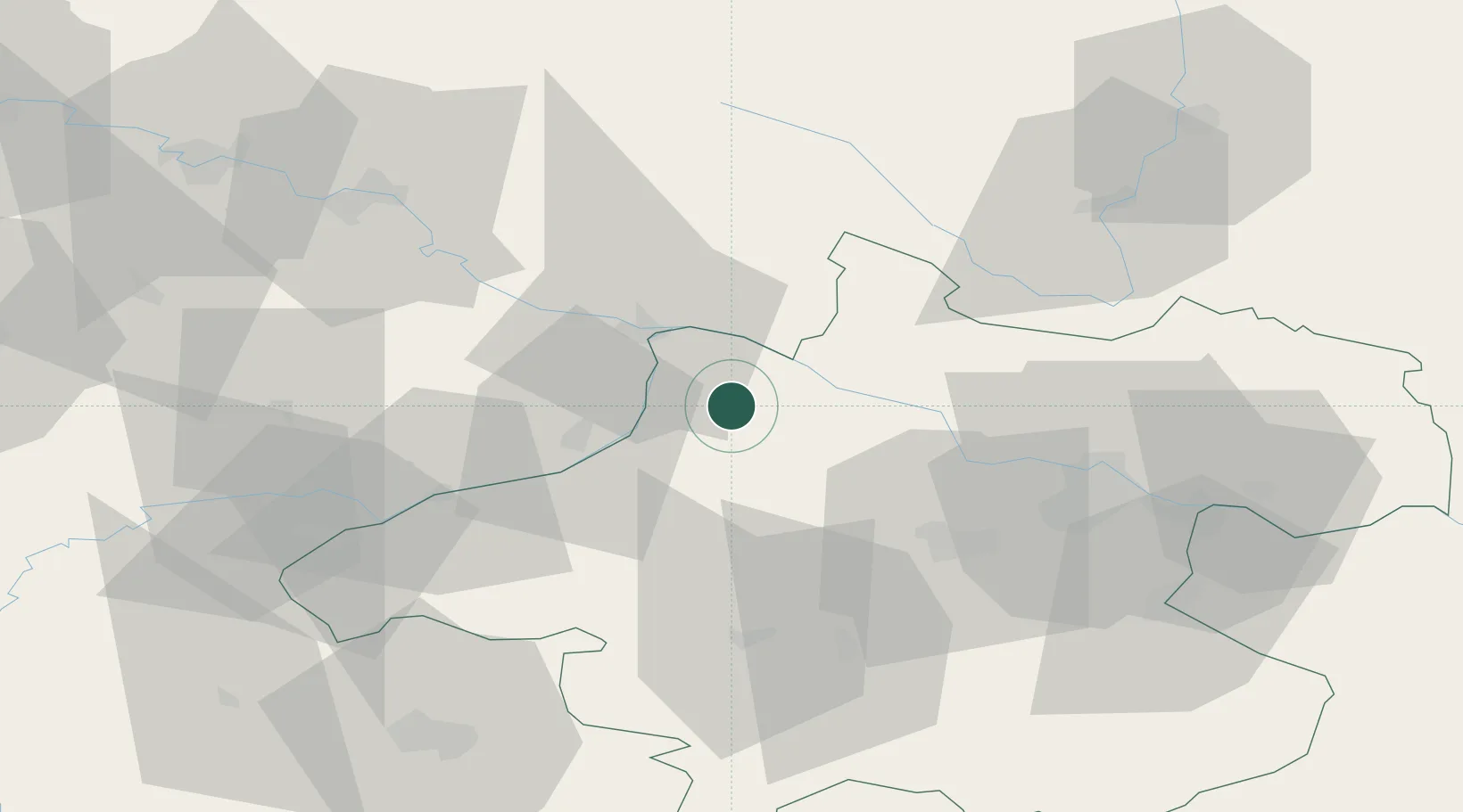
Sankt Florian am Inn

48.4333°, 13.6000°
365
Population
2
Transport functions

Transport Functions

Road
Multimodal
UN/LOCODE

Hub Profile

Place type
Populated place
GeoNames
Region
Upper Austria
GeoNames
Population
365
GeoNames
Time zone
Europe/Vienna
GeoNames
Elevation
317 m
GeoNames

Location

Location of ATSFI
Natural Earth 10m (public domain) · Upper Austria · ATSFI · 48.43, 13.60GoogleOSMYandex

Nearby Logistics Neighbours

Cities
  1. 1Kopfing im Innkreis4 km
  2. 2Taufkirchen an der Pram5 km
  3. 3Sankt Aegidi12 km
  4. 4Neuburg Am Inn13 km
  5. 5Niederranna15 km
Nearest neighbours — logibook spatial index (haversine) over the source coordinates
Ports
  1. 1Monfalcone295 km
  2. 2Nogaro299 km
  3. 3Grado305 km
  4. 4Trieste310 km
  5. 5Muggia315 km
Nearest neighbours — logibook spatial index (haversine) over the source coordinates
Airports
  1. 1Linz-Hörsching Airport49 km
  2. 2České Budějovice South Bohemian Airport84 km
  3. 3Salzburg Airport84 km
  4. 4Landshut Airfield116 km
  5. 5Munich Airport134 km
Nearest neighbours — logibook spatial index (haversine) over the source coordinates
Trade Zones
  1. 1Freeport of Deggendorf69 km
  2. 2Světlá nad Sázavou Municipal Industrial Zone191 km
  3. 3Podbořany Industrial Zone200 km
  4. 4Industrial Zone Kutna Hora207 km
  5. 5Kolín - Ovčáry Industrial Zone217 km
Nearest neighbours — logibook spatial index (haversine) over the source coordinates
DatabookThe Record of Consolidated Knowledge
Austria beyond logistics?
Browse databook

All Sources

LocationsUN/LOCODE
UN/LOCODE — free
LocationsGeoNames
CC BY 4.0
Portsthe NGA World Port Index
Public domain (US gov)
AirportsOurAirports
Public domain
Trade Zonesthe World Bank SEZ database
CC BY 4.0
Trade ZonesOpen Zone Map
CC BY
← Austria locations