Transport Functions
Multimodal
Hub Profile
Place type
Local administrative seat
Region
Baden-Wurttemberg
Population
3,016
Time zone
Europe/Berlin
Elevation
505 m
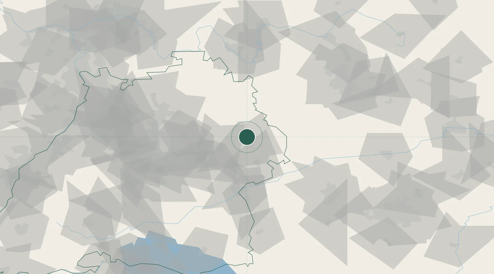
Location
Nearby Logistics Neighbours
Cities
- 1Hüttlingen6 km
- 2Ellwangen6 km
- 3Abtsgmünd6 km
- 4Bühlerzell13 km
- 5Schechingen13 km
Ports
- 1Nogaro423 km
- 2Porto Di Lido-Venezia430 km
- 3Grado435 km
- 4Monfalcone438 km
- 5Porto Di Chioggia445 km
Airports
- 1Adolf Würth Airport29 km
- 2Niederstetten Army Air Base52 km
- 3Stuttgart Airport68 km
- 4Laupheim Air Base80 km
- 5Augsburg Airport85 km
Trade Zones
- 1ZFU Neuhof175 km
- 2ZFU Hautepierre178 km
- 3Freeport of Deggendorf208 km
- 4ZFU La Cité Behren-lès-Forbach230 km
- 5ZFU Mulhouse241 km
DatabookThe Record of Consolidated Knowledge
Germany beyond logistics?