Transport Functions
Rail
Road
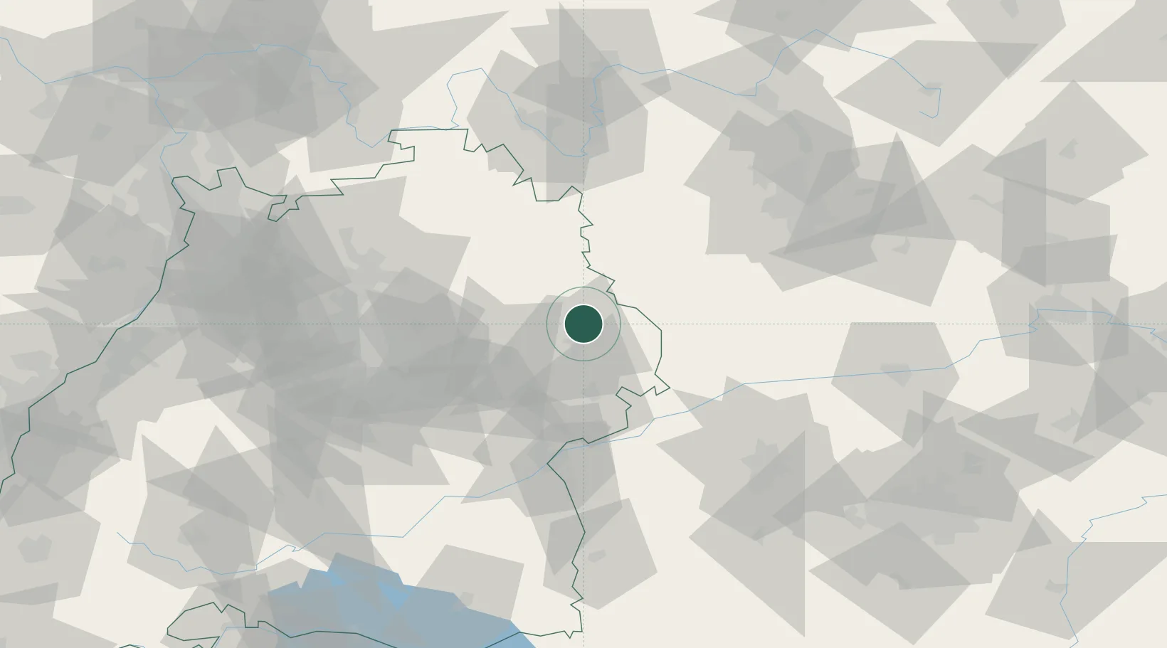
Hub Profile
Place type
Populated place
Region
Baden-Wurttemberg
Population
24,477
Time zone
Europe/Berlin
Elevation
443 m
Location
Nearby Logistics Neighbours
Cities
- 1Neuler6 km
- 2Hüttlingen10 km
- 3Abtsgmünd12 km
- 4Bühlerzell16 km
- 5Frankenhardt17 km
Ports
- 1Nogaro424 km
- 2Porto Di Lido-Venezia431 km
- 3Grado435 km
- 4Monfalcone438 km
- 5Porto Di Chioggia446 km
Airports
- 1Adolf Würth Airport31 km
- 2Niederstetten Army Air Base49 km
- 3Stuttgart Airport74 km
- 4Neuburg Air Base84 km
- 5Augsburg Airport84 km
Trade Zones
- 1ZFU Neuhof180 km
- 2ZFU Hautepierre184 km
- 3Freeport of Deggendorf203 km
- 4ZFU La Cité Behren-lès-Forbach235 km
- 5ZFU Mulhouse247 km
DatabookThe Record of Consolidated Knowledge
Germany beyond logistics?