Transport Functions
Multimodal
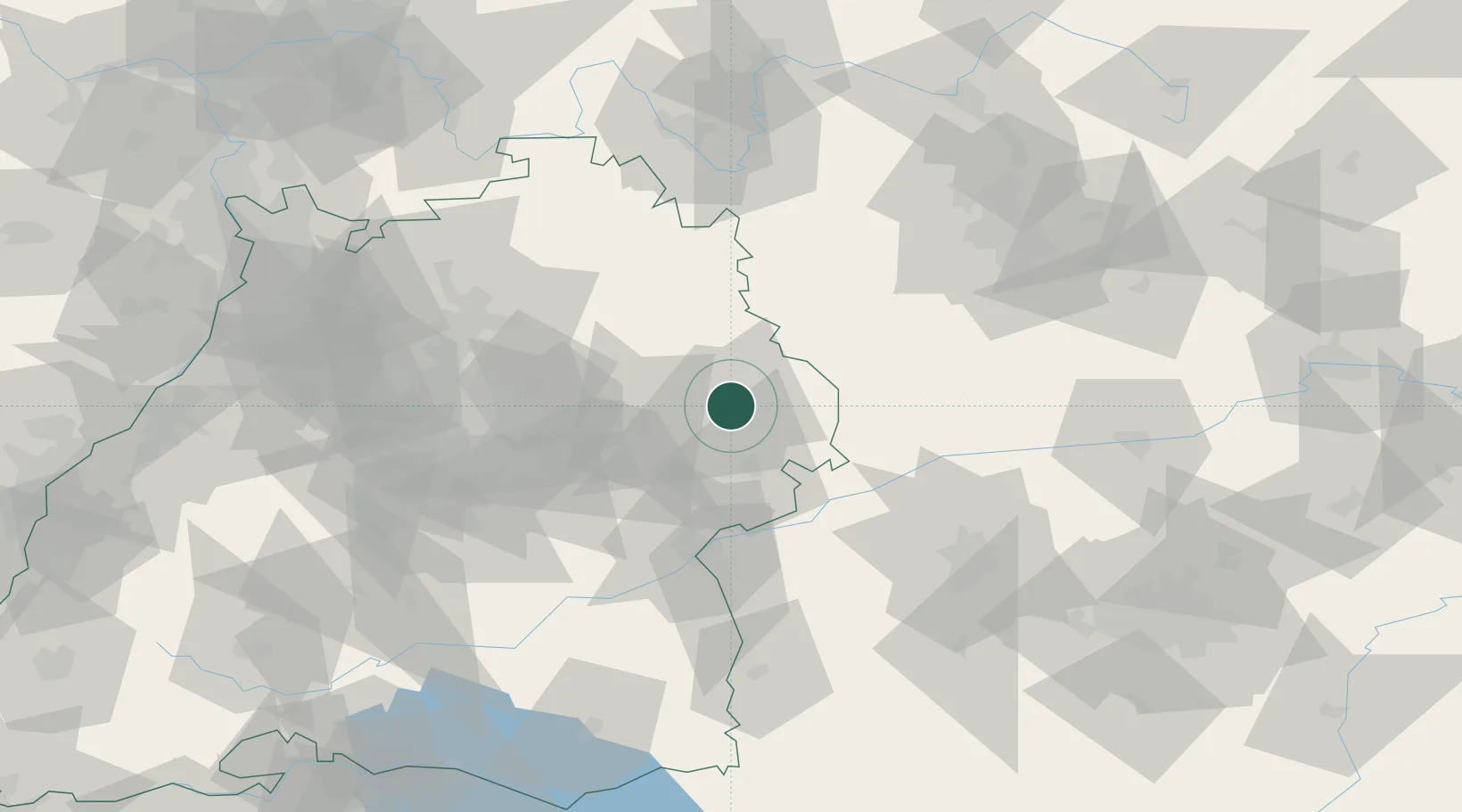
Hub Profile
Place type
Local administrative seat
Region
Baden-Wurttemberg
Population
5,678
Time zone
Europe/Berlin
Elevation
407 m
Location
Nearby Logistics Neighbours
Cities
- 1Neuler6 km
- 2Abtsgmünd8 km
- 3Ellwangen10 km
- 4Ebnat11 km
- 5Oberkochen11 km
Ports
- 1Nogaro417 km
- 2Porto Di Lido-Venezia424 km
- 3Grado429 km
- 4Monfalcone432 km
- 5Porto Di Chioggia439 km
Airports
- 1Adolf Würth Airport35 km
- 2Niederstetten Army Air Base58 km
- 3Stuttgart Airport68 km
- 4Laupheim Air Base75 km
- 5Augsburg Airport80 km
Trade Zones
- 1ZFU Neuhof176 km
- 2ZFU Hautepierre179 km
- 3Freeport of Deggendorf205 km
- 4ZFU La Cité Behren-lès-Forbach233 km
- 5ZFU Mulhouse240 km
DatabookThe Record of Consolidated Knowledge
Germany beyond logistics?