Transport Functions
Rail
Road
Hub Profile
Place type
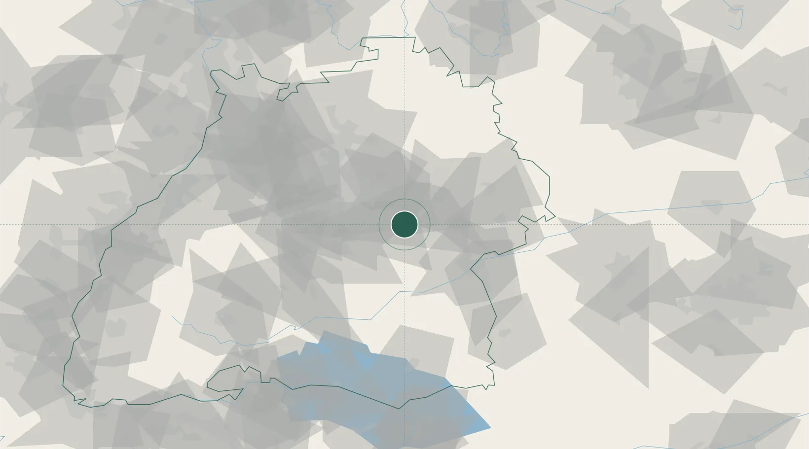
Populated place
Region
Baden-Wurttemberg
Time zone
Europe/Berlin
Elevation
411 m
Location
Nearby Logistics Neighbours
Cities
- 1Boll2 km
- 2Dürnau4 km
- 3Eschenbach6 km
- 4Wangen8 km
- 5Ebersbach an der Fils8 km
Ports
- 1Porto Di Lido-Venezia419 km
- 2Nogaro420 km
- 3Grado432 km
- 4Porto Di Chioggia432 km
- 5Monfalcone437 km
Airports
- 1Stuttgart Airport27 km
- 2Laupheim Air Base54 km
- 3Adolf Würth Airport54 km
- 4Mengen-Hohentengen Airfield68 km
- 5Niederstetten Army Air Base87 km
Trade Zones
- 1ZFU Neuhof134 km
- 2ZFU Hautepierre139 km
- 3ZFU Mulhouse194 km
- 4ZFU La Cité Behren-lès-Forbach202 km
- 5ZFU Belfort234 km
DatabookThe Record of Consolidated Knowledge
Germany beyond logistics?