Transport Functions
Rail
Road
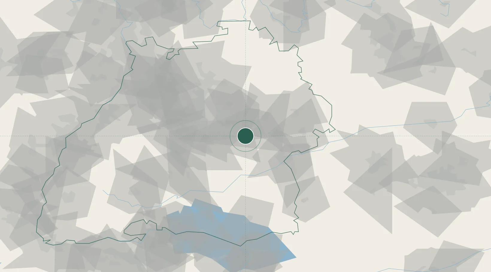
Hub Profile
Place type
Local administrative seat
Region
Baden-Wurttemberg
Population
5,296
Time zone
Europe/Berlin
Elevation
416 m
Location
Nearby Logistics Neighbours
Cities
- 1Bad Boll2 km
- 2Dürnau2 km
- 3Eschenbach5 km
- 4Mühlhausen im Täle8 km
- 5Wangen9 km
Ports
- 1Porto Di Lido-Venezia417 km
- 2Nogaro418 km
- 3Grado430 km
- 4Porto Di Chioggia430 km
- 5Monfalcone435 km
Airports
- 1Stuttgart Airport29 km
- 2Laupheim Air Base51 km
- 3Adolf Würth Airport56 km
- 4Mengen-Hohentengen Airfield67 km
- 5Memmingen Allgau Airport86 km
Trade Zones
- 1ZFU Neuhof136 km
- 2ZFU Hautepierre140 km
- 3ZFU Mulhouse194 km
- 4ZFU La Cité Behren-lès-Forbach204 km
- 5ZFU Belfort235 km
DatabookThe Record of Consolidated Knowledge
Germany beyond logistics?