Transport Functions
Port
Rail
Road
Hub Profile
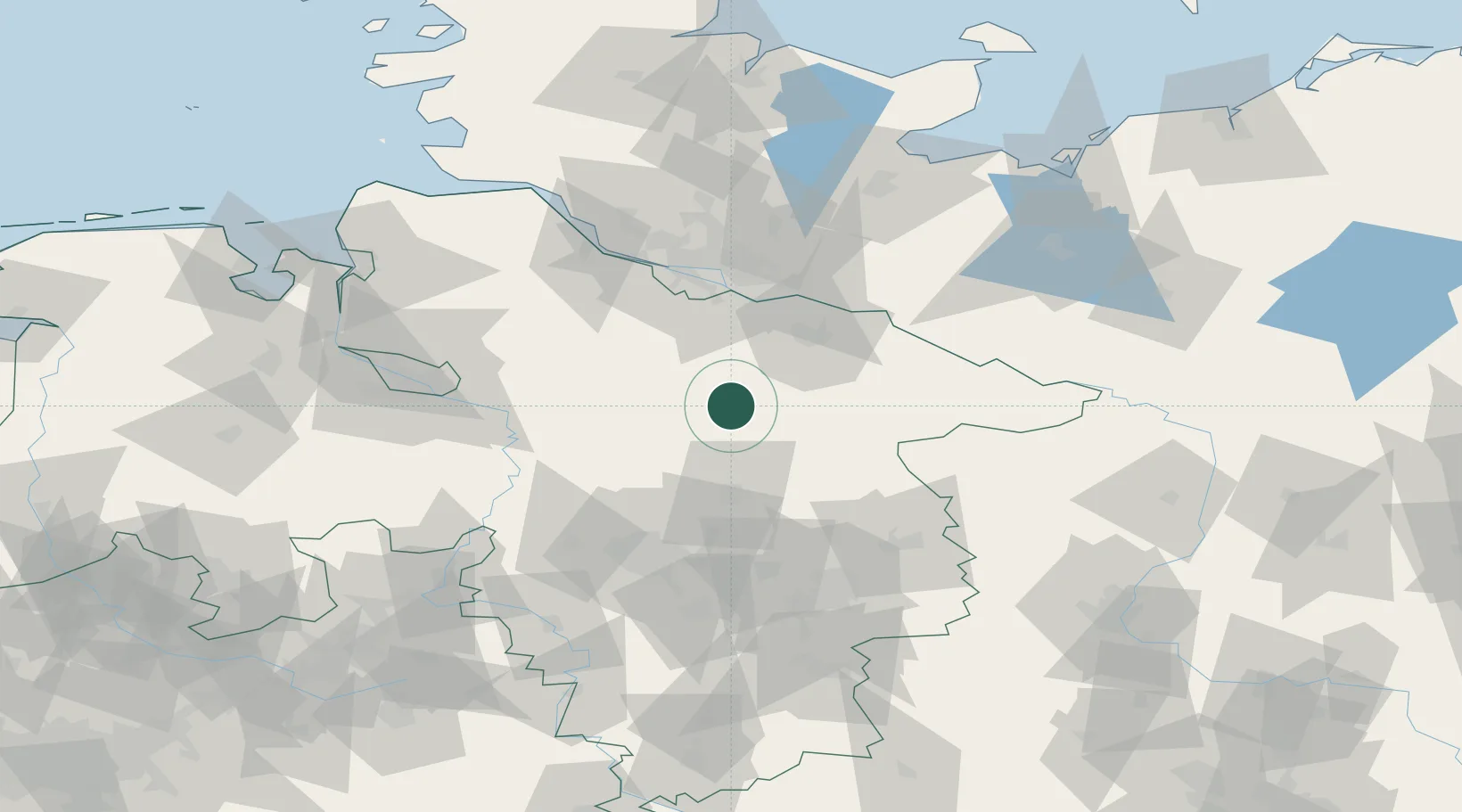
Place type
Populated place
Region
Lower Saxony
Population
17,746
Time zone
Europe/Berlin
Elevation
79 m
Logistics facilities
2
Location
Nearby Logistics Neighbours
Cities
- 1Bockholdt11 km
- 2Bispingen12 km
- 3Soltau17 km
- 4Soderstorf19 km
- 5Unterlüss20 km
Ports
- 1Hamburg64 km
- 2Butzfleth83 km
- 3Bremen90 km
- 4Gluckstadt99 km
- 5Lubeck108 km
Airports
- 1Faßberg Air Base10 km
- 2Celle Army Airfield44 km
- 3Hamburg-Finkenwerder Airport64 km
- 4Hannover Airport64 km
- 5Hamburg Helmut Schmidt Airport72 km
Trade Zones
DatabookThe Record of Consolidated Knowledge
Germany beyond logistics?