UN/LOCODE hub · Germany
DEBCO

Bockholdt

52.8833°, 10.1167°
3
Transport functions

Transport Functions

Port
Rail
Road
UN/LOCODE

Hub Profile

Region
NI
GeoNames

Location

Location of DEBCO
Natural Earth 10m (public domain) · NI · DEBCO · 52.88, 10.12GoogleOSMYandex

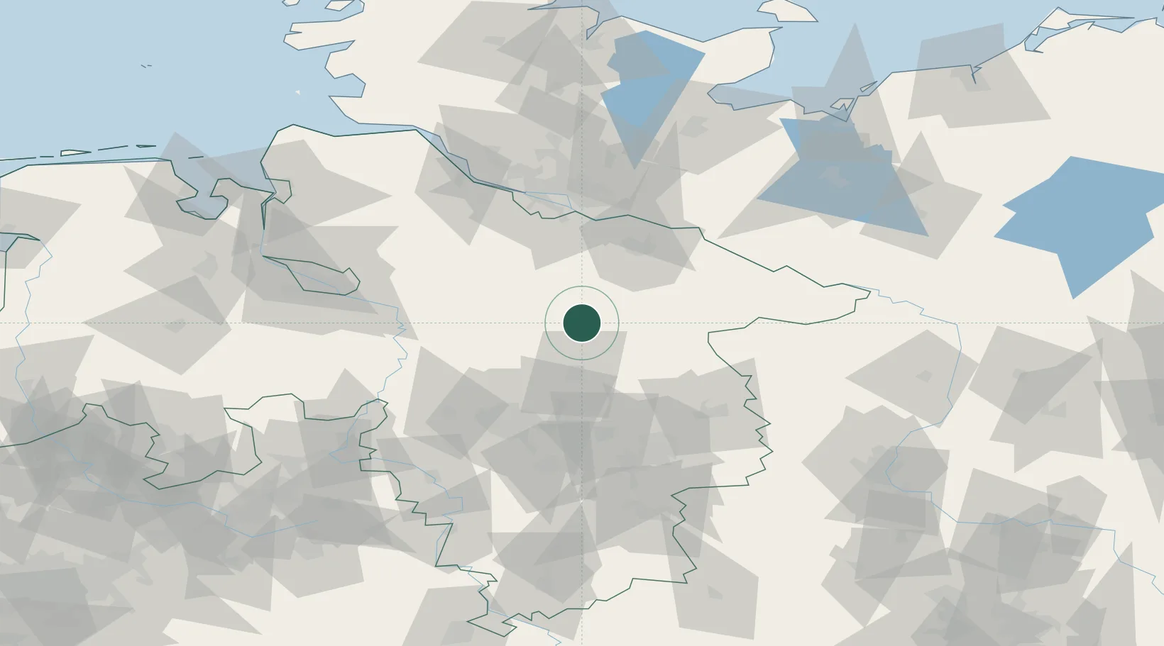
Nearby Logistics Neighbours

Cities
  1. 1Munster11 km
  2. 2Unterlüss12 km
  3. 3Bergen14 km
  4. 4Soltau22 km
  5. 5Gerdau22 km
Nearest neighbours — logibook spatial index (haversine) over the source coordinates
Ports
  1. 1Hamburg75 km
  2. 2Butzfleth94 km
  3. 3Bremen95 km
  4. 4Gluckstadt110 km
  5. 5Elsfleth117 km
Nearest neighbours — logibook spatial index (haversine) over the source coordinates
Airports
  1. 1Faßberg Air Base6 km
  2. 2Celle Army Airfield33 km
  3. 3Hannover Airport55 km
  4. 4Wunstorf Air Base66 km
  5. 5Braunschweig-Wolfsburg Airport69 km
Nearest neighbours — logibook spatial index (haversine) over the source coordinates
Trade Zones
  1. 1Freeport of Bremerhaven (Freihafen Bremerhaven)93 km
  2. 2Freeport of Cuxhaven (Freihafen Cuxhaven)147 km
  3. 3Freeport of Kiel161 km
  4. 4Freeport of Emden202 km
  5. 5Freeport of Duisburg289 km
Nearest neighbours — logibook spatial index (haversine) over the source coordinates
DatabookThe Record of Consolidated Knowledge
Germany beyond logistics?
Browse databook

All Sources

LocationsUN/LOCODE
UN/LOCODE — free
Portsthe NGA World Port Index
Public domain (US gov)
AirportsOurAirports
Public domain
Trade Zonesthe World Bank SEZ database
CC BY 4.0
Trade ZonesOpen Zone Map
CC BY
← Germany locations