Transport Functions
Rail
Road
Hub Profile
Place type
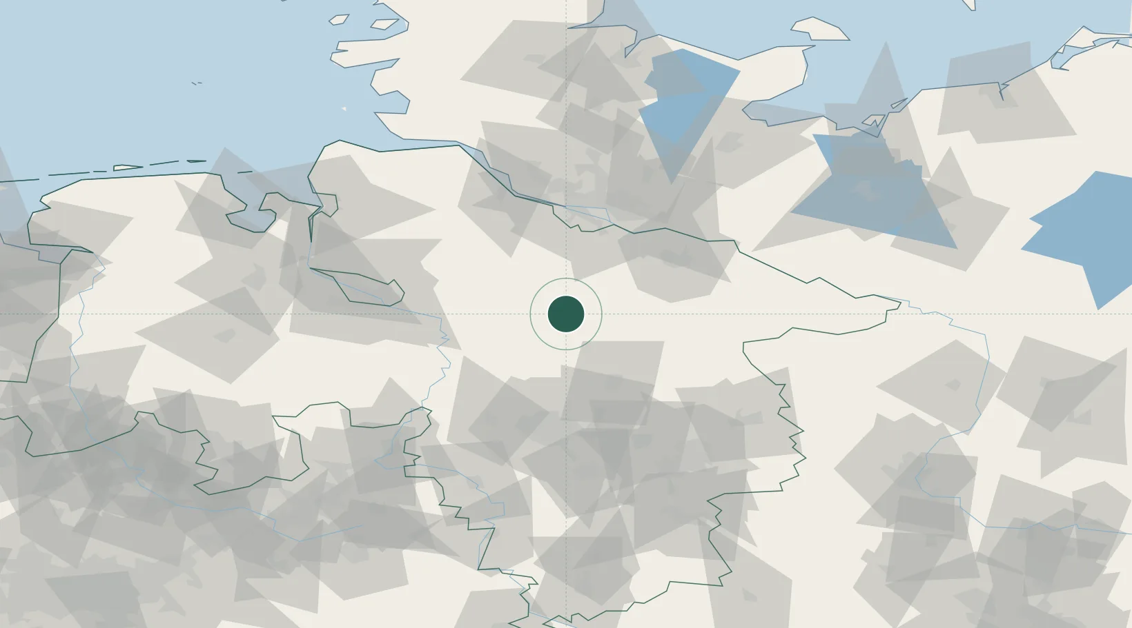
Populated place
Region
Lower Saxony
Population
21,945
Time zone
Europe/Berlin
Elevation
62 m
Logistics facilities
1
Location
Nearby Logistics Neighbours
Cities
- 1Neuenkirchen/Lüneburg10 km
- 2Schneverdingen15 km
- 3Visselhövede16 km
- 4Bispingen16 km
- 5Bad Fallingbostel16 km
Ports
- 1Hamburg63 km
- 2Bremen73 km
- 3Butzfleth77 km
- 4Gluckstadt93 km
- 5Elsfleth95 km
Airports
- 1Faßberg Air Base25 km
- 2Celle Army Airfield45 km
- 3Hannover Airport59 km
- 4Hamburg-Finkenwerder Airport61 km
- 5Wunstorf Air Base65 km
Trade Zones
DatabookThe Record of Consolidated Knowledge
Germany beyond logistics?