Transport Functions
Rail
Road
Hub Profile
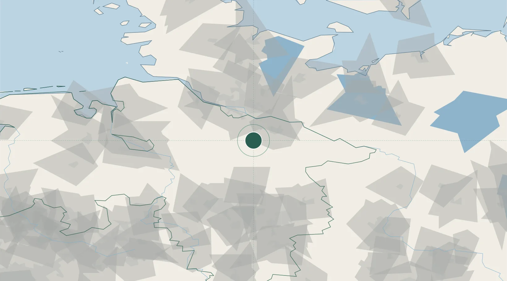
Place type
Local administrative seat
Region
Lower Saxony
Population
1,536
Time zone
Europe/Berlin
Elevation
55 m
Location
Nearby Logistics Neighbours
Cities
- 1Egestorf7 km
- 2Salzhausen8 km
- 3Bispingen13 km
- 4Brackel18 km
- 5Mechtersen19 km
Ports
- 1Hamburg47 km
- 2Butzfleth70 km
- 3Gluckstadt86 km
- 4Lubeck89 km
- 5Bremen92 km
Airports
- 1Faßberg Air Base26 km
- 2Hamburg-Finkenwerder Airport48 km
- 3Hamburg Helmut Schmidt Airport55 km
- 4Uetersen-Heist Airfield63 km
- 5Celle Army Airfield63 km
Trade Zones
DatabookThe Record of Consolidated Knowledge
Germany beyond logistics?