UN/LOCODE hub · Germany
DEUTS

Unterlüss

52.8500°, 10.2833°
1
Transport functions

Transport Functions

Multimodal
UN/LOCODE

Hub Profile

Region
NI
GeoNames

Location

Location of DEUTS
Natural Earth 10m (public domain) · NI · DEUTS · 52.85, 10.28GoogleOSMYandex

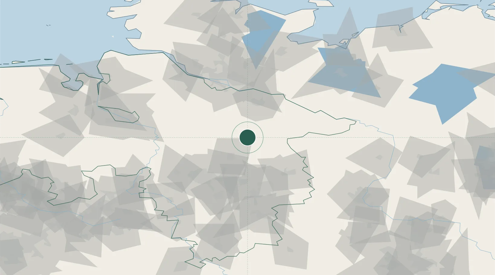
Nearby Logistics Neighbours

Cities
  1. 1Bockholdt12 km
  2. 2Gerdau16 km
  3. 3Bohlsen18 km
  4. 4Munster20 km
  5. 5Steinhorst20 km
Nearest neighbours — logibook spatial index (haversine) over the source coordinates
Ports
  1. 1Hamburg81 km
  2. 2Butzfleth103 km
  3. 3Bremen106 km
  4. 4Lubeck118 km
  5. 5Gluckstadt119 km
Nearest neighbours — logibook spatial index (haversine) over the source coordinates
Airports
  1. 1Faßberg Air Base10 km
  2. 2Celle Army Airfield34 km
  3. 3Hannover Airport59 km
  4. 4Braunschweig-Wolfsburg Airport62 km
  5. 5Wunstorf Air Base72 km
Nearest neighbours — logibook spatial index (haversine) over the source coordinates
Trade Zones
  1. 1Freeport of Bremerhaven (Freihafen Bremerhaven)105 km
  2. 2Freeport of Cuxhaven (Freihafen Cuxhaven)157 km
  3. 3Freeport of Kiel165 km
  4. 4Freeport of Emden214 km
  5. 5Swinoujscie Duty Free Zone289 km
Nearest neighbours — logibook spatial index (haversine) over the source coordinates
DatabookThe Record of Consolidated Knowledge
Germany beyond logistics?
Browse databook

All Sources

LocationsUN/LOCODE
UN/LOCODE — free
Portsthe NGA World Port Index
Public domain (US gov)
AirportsOurAirports
Public domain
Trade Zonesthe World Bank SEZ database
CC BY 4.0
Trade ZonesOpen Zone Map
CC BY
← Germany locations