UN/LOCODE hub · Germany
DEBPN

Bispingen

53.0833°, 10.0000°
6,284
Population
1
Transport functions

Transport Functions

Multimodal
UN/LOCODE

Hub Profile

Place type
Local administrative seat
GeoNames
Region
Lower Saxony
GeoNames
Population
6,284
GeoNames
Time zone
Europe/Berlin
GeoNames
Elevation
78 m
GeoNames

Location

Location of DEBPN
Natural Earth 10m (public domain) · Lower Saxony · DEBPN · 53.08, 10.00GoogleOSMYandex

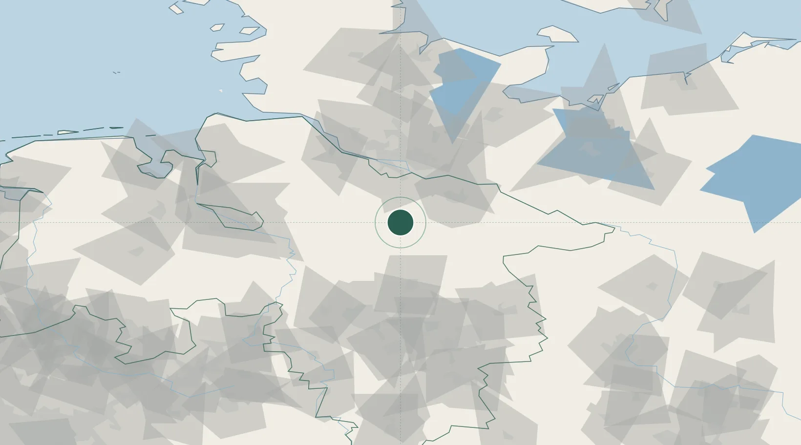
Nearby Logistics Neighbours

Cities
  1. 1Egestorf12 km
  2. 2Munster12 km
  3. 3Soderstorf13 km
  4. 4Schneverdingen14 km
  5. 5Soltau16 km
Nearest neighbours — logibook spatial index (haversine) over the source coordinates
Ports
  1. 1Hamburg52 km
  2. 2Butzfleth71 km
  3. 3Bremen83 km
  4. 4Gluckstadt87 km
  5. 5Itzehoe98 km
Nearest neighbours — logibook spatial index (haversine) over the source coordinates
Airports
  1. 1Faßberg Air Base22 km
  2. 2Hamburg-Finkenwerder Airport51 km
  3. 3Celle Army Airfield55 km
  4. 4Hamburg Helmut Schmidt Airport61 km
  5. 5Uetersen-Heist Airfield66 km
Nearest neighbours — logibook spatial index (haversine) over the source coordinates
Trade Zones
  1. 1Freeport of Bremerhaven (Freihafen Bremerhaven)82 km
  2. 2Freeport of Cuxhaven (Freihafen Cuxhaven)126 km
  3. 3Freeport of Kiel140 km
  4. 4Freeport of Emden189 km
  5. 5Freeport of Duisburg295 km
Nearest neighbours — logibook spatial index (haversine) over the source coordinates
DatabookThe Record of Consolidated Knowledge
Germany beyond logistics?
Browse databook

All Sources

LocationsUN/LOCODE
UN/LOCODE — free
LocationsGeoNames
CC BY 4.0
Portsthe NGA World Port Index
Public domain (US gov)
AirportsOurAirports
Public domain
Trade Zonesthe World Bank SEZ database
CC BY 4.0
Trade ZonesOpen Zone Map
CC BY
← Germany locations