Transport Functions
Multimodal
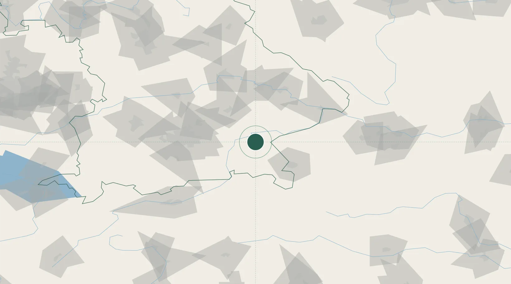
Hub Profile
Place type
Local administrative seat
Region
Bavaria
Population
2,801
Time zone
Europe/Berlin
Elevation
515 m
Location
Nearby Logistics Neighbours
Cities
- 1Mühldorf am Inn13 km
- 2Stein an der Traun15 km
- 3Töging am Inn15 km
- 4Gendorf17 km
- 5Sankt Georgen (Traunreut)17 km
Ports
- 1Nogaro267 km
- 2Monfalcone271 km
- 3Grado275 km
- 4Trieste289 km
- 5Muggia295 km
Airports
- 1Salzburg Airport50 km
- 2Landshut Airfield57 km
- 3Munich Airport61 km
- 4Oberpfaffenhofen Airport93 km
- 5Altstetten Ultralight Field95 km
Trade Zones
DatabookThe Record of Consolidated Knowledge
Germany beyond logistics?