Transport Functions
Multimodal
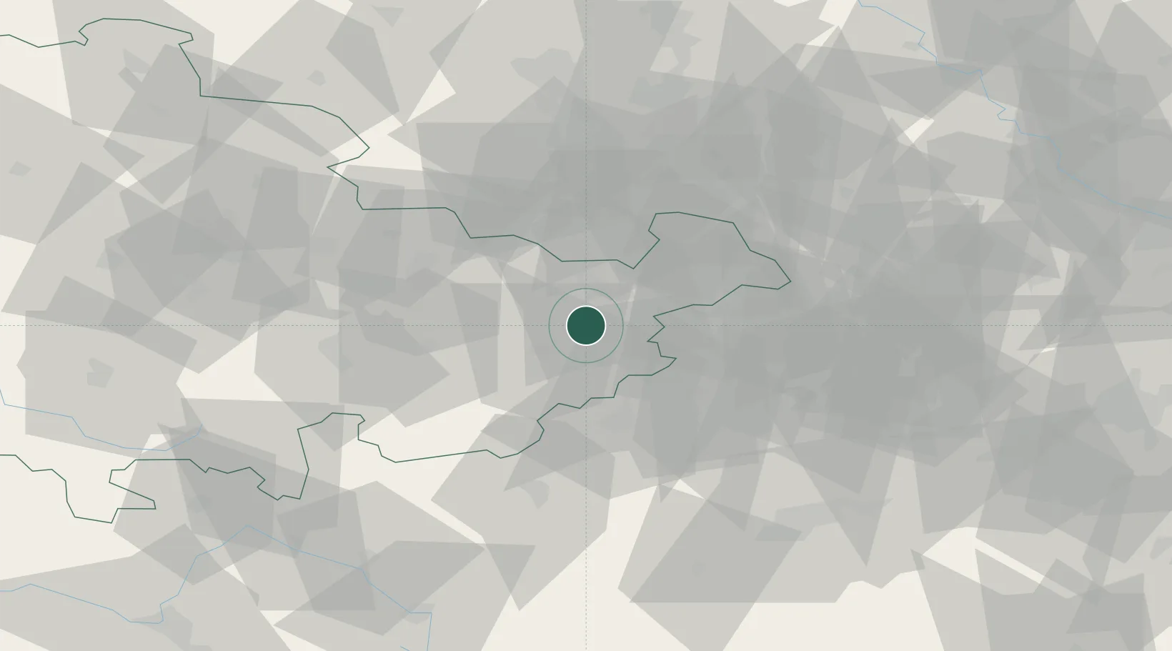
Hub Profile
Place type
Populated place
Region
Thuringia
Population
8,528
Time zone
Europe/Berlin
Elevation
239 m
Location
Nearby Logistics Neighbours
Cities
- 1Hohenölsen4 km
- 2Dittersdorf4 km
- 3Münchenbernsdorf11 km
- 4Auma12 km
- 5Kraftsdorf17 km
Airports
- 1Leipzig–Altenburg Airport39 km
- 2Hof-Plauen Airport55 km
- 3Leipzig/Halle Airport74 km
- 4Erfurt-Weimar Airport81 km
- 5Karlovy Vary Airport87 km
Trade Zones
DatabookThe Record of Consolidated Knowledge
Germany beyond logistics?