UN/LOCODE hub · Germany
DETZH

Hohenölsen

50.7333°, 12.0833°
2
Transport functions

Transport Functions

Road
Multimodal
UN/LOCODE

Hub Profile

Region
TH
GeoNames

Location

Location of DETZH
Natural Earth 10m (public domain) · TH · DETZH · 50.73, 12.08GoogleOSMYandex

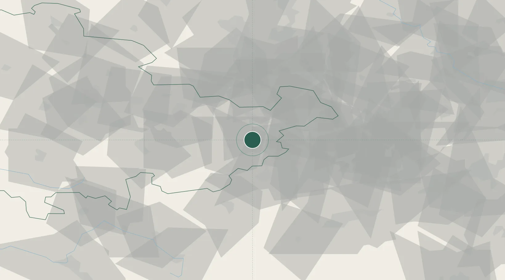
Nearby Logistics Neighbours

Cities
  1. 1Dittersdorf3 km
  2. 2Weida4 km
  3. 3Auma11 km
  4. 4Münchenbernsdorf14 km
  5. 5Ginepp17 km
Nearest neighbours — logibook spatial index (haversine) over the source coordinates
Ports
  1. 1Szczecin343 km
  2. 2Hamburg346 km
  3. 3Bremen351 km
  4. 4Wismar355 km
  5. 5Police358 km
Nearest neighbours — logibook spatial index (haversine) over the source coordinates
Airports
  1. 1Leipzig–Altenburg Airport41 km
  2. 2Hof-Plauen Airport52 km
  3. 3Leipzig/Halle Airport77 km
  4. 4Karlovy Vary Airport83 km
  5. 5Erfurt-Weimar Airport83 km
Nearest neighbours — logibook spatial index (haversine) over the source coordinates
Trade Zones
  1. 1Žatec - Triangle Strategic Industrial Zone109 km
  2. 2Podbořany Industrial Zone109 km
  3. 3Most - Joseph Industrial Zone113 km
  4. 4Freeport of Deggendorf218 km
  5. 5Kolín - Ovčáry Industrial Zone235 km
Nearest neighbours — logibook spatial index (haversine) over the source coordinates
DatabookThe Record of Consolidated Knowledge
Germany beyond logistics?
Browse databook

All Sources

LocationsUN/LOCODE
UN/LOCODE — free
Portsthe NGA World Port Index
Public domain (US gov)
AirportsOurAirports
Public domain
Trade Zonesthe World Bank SEZ database
CC BY 4.0
Trade ZonesOpen Zone Map
CC BY
← Germany locations